


Kamehameha Highway (Mile 1-20)
Kamehameha Highway (Mile 1–20) on Molokai is a picturesque stretch of Hwy 450 that runs along the island's tranquil south shore. Beginning in Kaunakakai and ending at Murphy's Beach, this 20-mile drive offers views of ancient fishponds, mountain ridges, and the blue Pacific. It's a relaxed route with limited traffic, ideal for those seeking a peaceful road trip past rural communities, hidden beaches, and sacred Hawaiian sites.
Kamehameha Highway (Mile 1-20), Molokai
Kamehameha Highway (Hwy 450) (view panorama) × leads along Molokai's south shore, all the way from Kaunakakai (Molokai's main town) to its dead end at Halawa Valley. This scenic drive only describes the section of Kamehameha Highway from Kaunakakai to Murphy's Beach (also known as Mile Marker 20 Beach or Twenty Mile Beach because it is 20 miles from Kaunakakai).
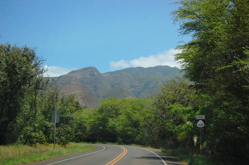
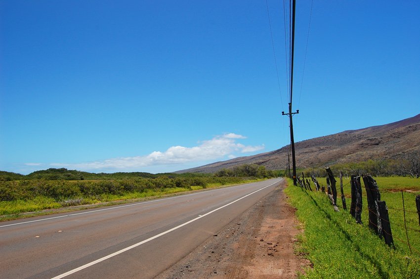
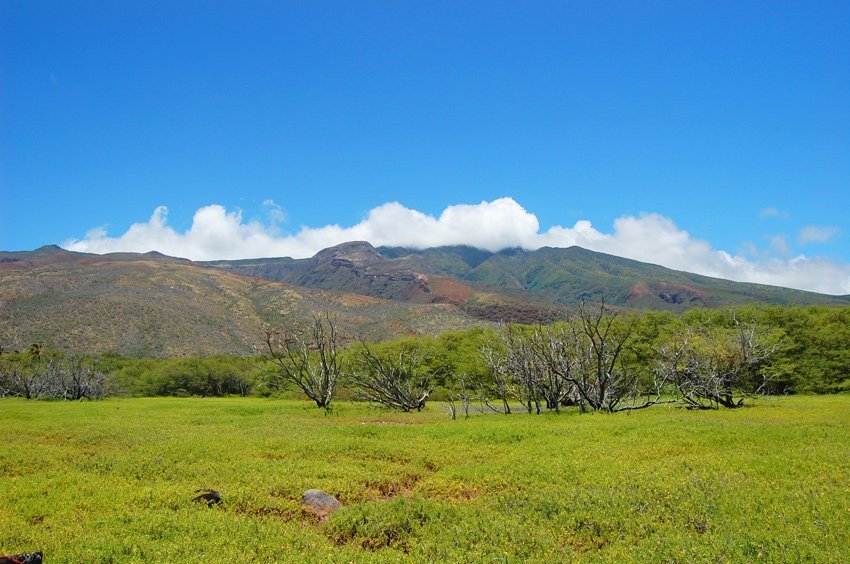
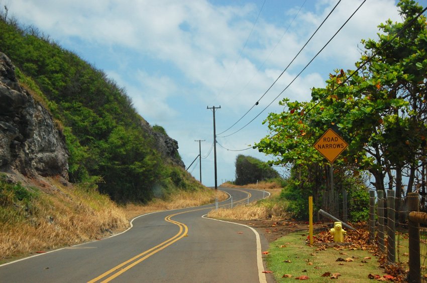
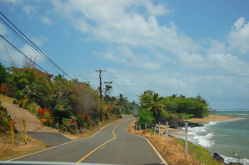
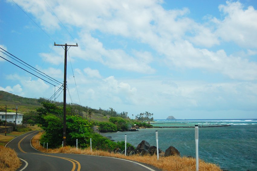
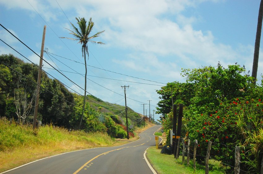
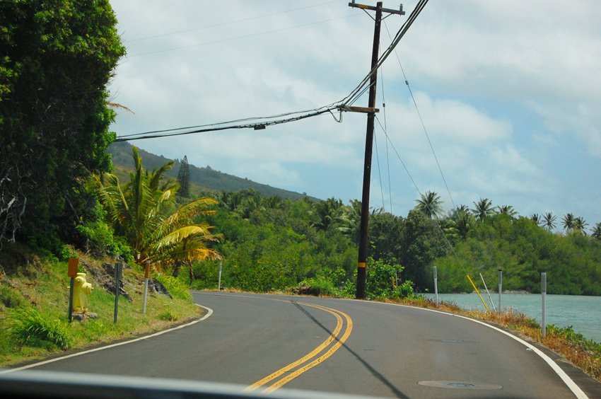
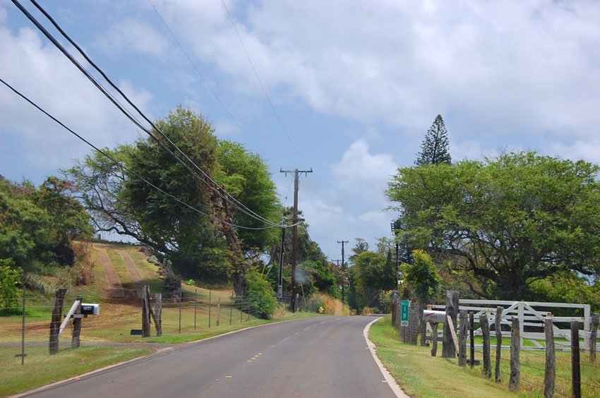
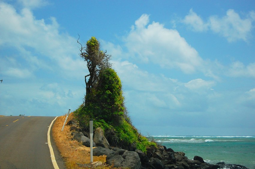
This stretch of the highway is for the most part two lanes wide (except for the last mile leading to Murphy's Beach). It is a nice drive with views of the ocean on one side of the highway and views of the mountains on the other.
The further east you drive on Kamehameha Highway, the fewer cars you'll see. The first stretch (10 miles) of the highway, from Kaunakakai to Kamalo, is comparatively wide and straight. Beyond that it is a bit narrower and curvier.
Along this entire section of coastline are many fishponds. However, most of them are not easily accessible as they are backed by private residences. One fishpond can easily be seen from the road. It is Niaupaia Fishpond, located across from Our Lady of Seven Sorrows Church.
You'll also drive by One Alii Beach Park (which has two sections) and Kakahaia Beach. Both offer nice views of the island of Lanai, but offer poor swimming conditions due to shallow and murky nearshore waters.
Key Features of Kamehameha Highway (Mile 1–20)
- Peaceful shoreline drive: Scenic 20-mile route from Kaunakakai to Murphy's Beach along Molokai's south shore.
- Two-lane paved road: Mostly straight and wide, with light traffic and gentle curves near the eastern end.
- Historical fishponds: View ancient Hawaiian aquaculture systems like Ni'aupala Fishpond from the roadside.
- Beach parks along the route: Pass by One Alii Beach Park and Kakahaia Beach with views of Lanai in the distance.
- Gateway to East Molokai: Marks the transition into the more rugged scenic section beyond Mile Marker 20.


Frequently Asked Questions
How long is the drive from Kaunakakai to Murphy's Beach?
The drive is approximately 20 miles (32 km) and takes around 35–40 minutes without stops.
What are the highlights of this stretch?
You'll pass scenic fishponds, mountain backdrops, peaceful beaches, and charming local communities.
Where can I see ancient fishponds?
Ni'aupala Fishpond is visible from across Our Lady of Seven Sorrows Church. Others are hidden behind private land.
Can I stop at beaches along the way?
Yes, One Alii Beach Park and Kakahaia Beach both have parking areas for short stops or picnics.
Does the road continue beyond Mile 20?
Yes, it becomes narrower and curvier past Murphy's Beach as it heads toward Halawa Valley, offering more rugged scenery.