


Kamehameha Highway (Mile 20-22)
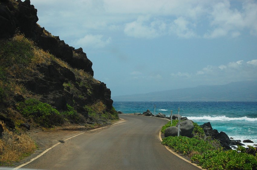
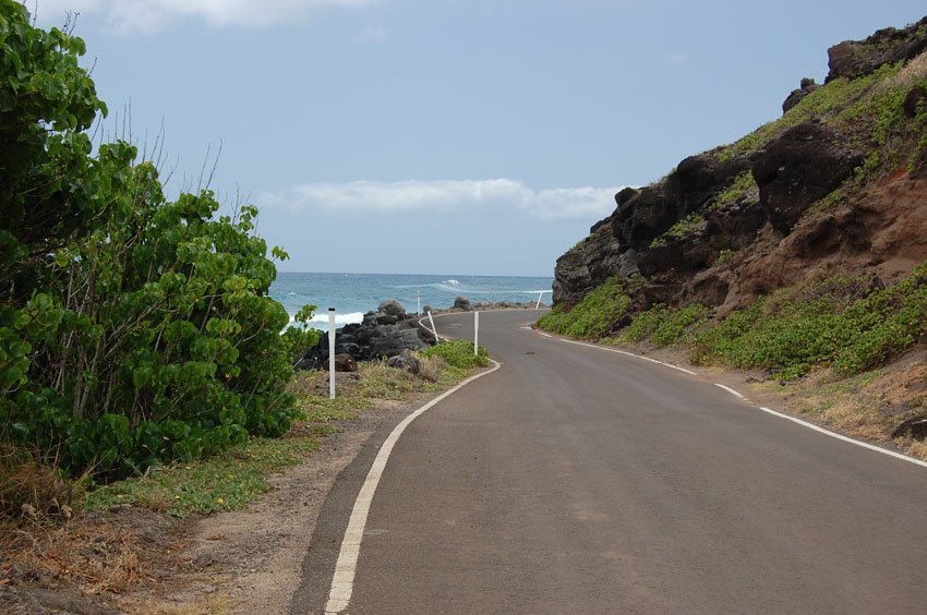
Kamehameha Highway (Mile 20–22) on Molokai offers one of the island's most scenic coastal drives. This short stretch hugs the ocean's edge beneath sea cliffs, delivering dramatic views and occasional sea spray right onto the road. While the narrow one-lane passage requires cautious driving, it's worth it for the up-close experience of Molokai's rugged shoreline. The route connects two picturesque beaches - Murphy's Beach and Sandy Beach - and provides access to Rock Point and panoramic vistas.
Kamehameha Highway (Mile 20-22), Molokai
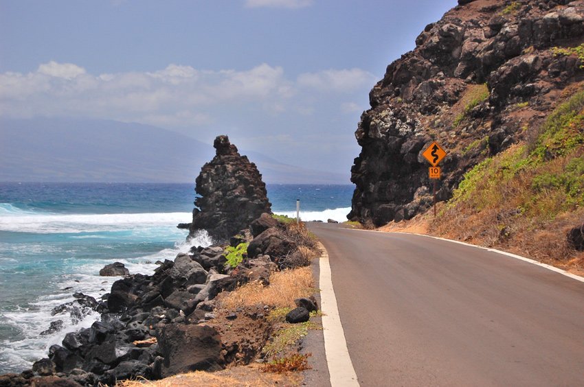
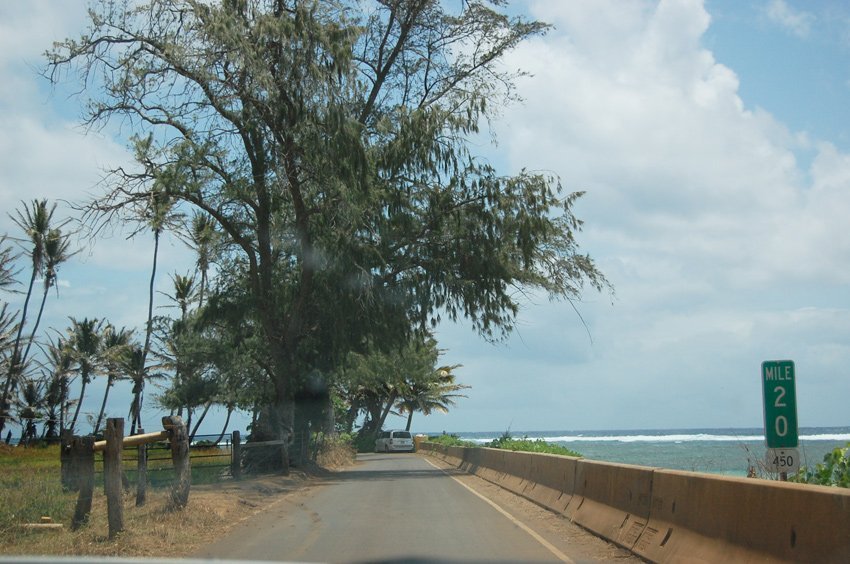
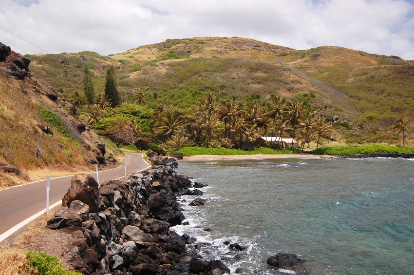
Kamehameha Highway (Hwy 450) (view panorama) × leads along Molokai's southeastern shore, all the way from Kaunakakai to Halawa Valley. It is therefore also known as Halawa Valley Drive. This scenic drive only describes the section of Kamehameha Highway from Mile Marker 20 to 22. Mile Marker 20 is where popular Murphy's Beach (also known as Mile Marker 20 Beach) is located. This is one of the better-known Molokai beaches and a favorite snorkeling spot when the ocean is calm. Many people as well as small tour buses only drive up until here because after Murphy's Beach, the road gets narrower and curvier.
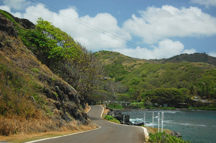
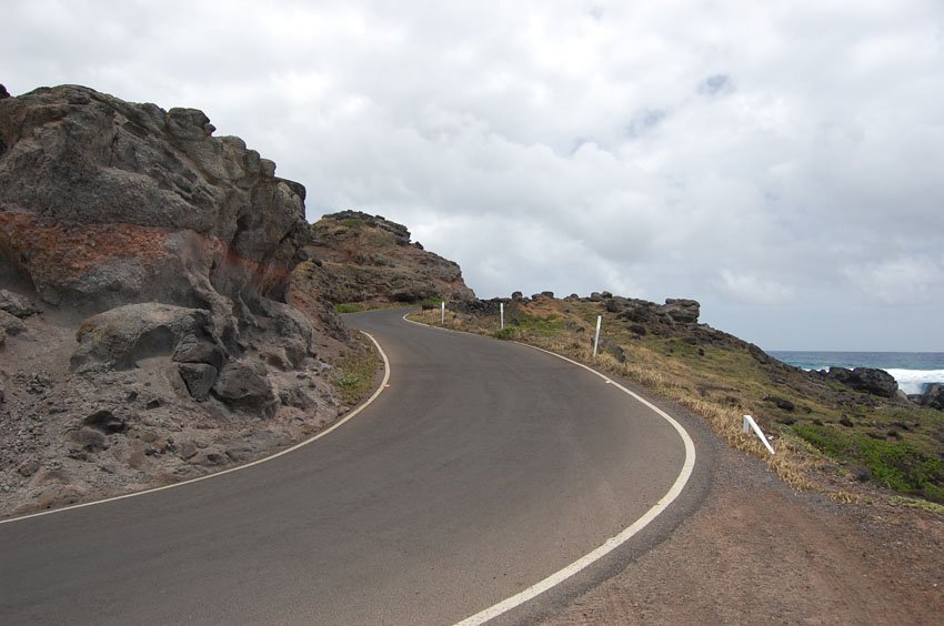
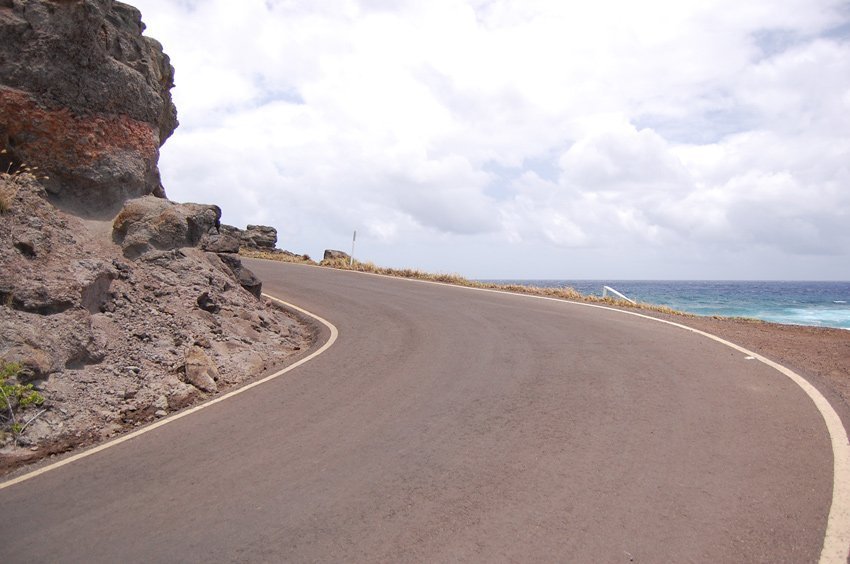
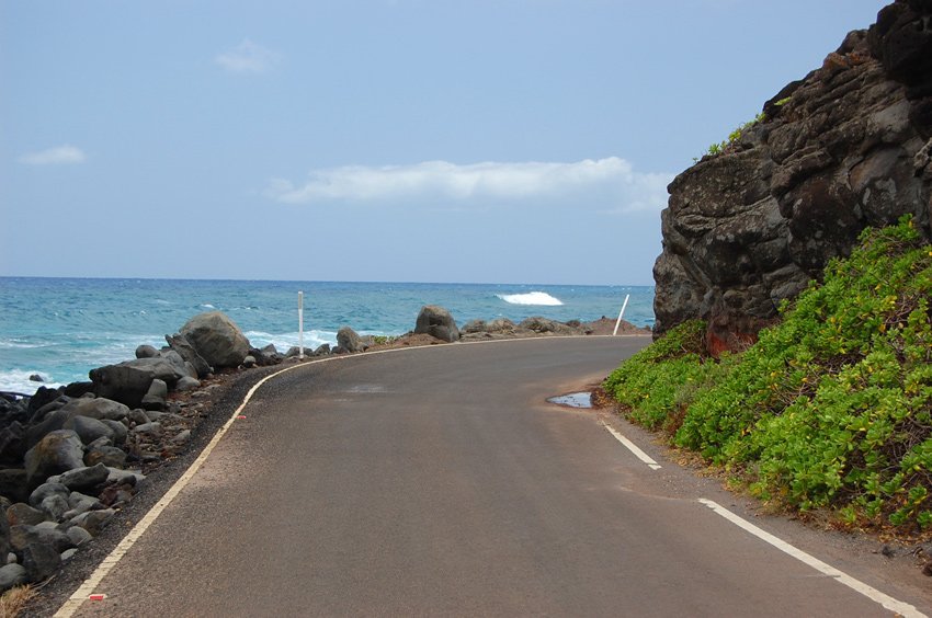
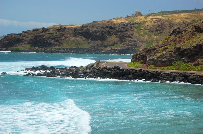
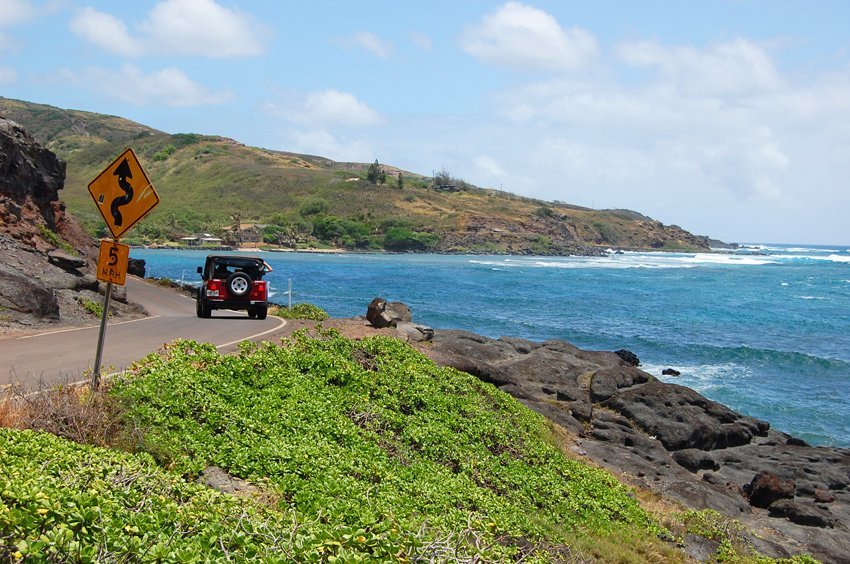
If you don't have time to drive all the way to Halawa Valley (another 7 miles) or simply don't have the nerves to drive on curvy one-lane road with many blind curves for too long, you can continue on for just another 2 miles (3.2 km) to Sandy Beach. This stretch of the road leads right along the ocean, so close that the spray of the waves sometimes splashes up onto the road. Along the way you'll also notice a rock formation on the ocean side right next to the road. It is known as Rock Point (Pohakuloa).
There is no room to stop anywhere because the road is just one lane wide, but since you'll be driving slowly and it's just 2 miles until Sandy Beach, you can still enjoy the views. Every 150-300 feet or so the road is a little wider to allow two cars going in opposite directions to pass each other. At Sandy Beach there is a spacious parking area where you can then easily turn around, or if you enjoy the adventure you can continue on all the way to Halawa Valley.
The two small islands that you can see about a mile offshore are called Moku Ho'oniki (the larger one) and Kanaha Rock. During World War II Moku Ho'oniki Island was used for bombing practice. There are still unexploded warheads on the island.
Key Features of Kamehameha Highway (Mile 20–22)
- Cliffside ocean drive: One-lane road carved along sea cliffs with stunning coastal views.
- Between two beaches: Connects Murphy's Beach and Sandy Beach along Molokai's southeastern shoreline.
- Rock Point formation: Natural ocean-side rock landmark visible en route.
- Adventure driving: Narrow and winding path with pullouts for passing; not suitable for large vehicles.
- Local wildlife & sea spray: Keep an eye out for birds, surf spray, and dramatic weather changes.


Frequently Asked Questions
Is Kamehameha Highway (Mile 20–22) suitable for all vehicles?
While most standard cars can drive it, the road is one-lane with blind curves. Large RVs or wide vehicles are not recommended.
How close is the road to the ocean?
The road runs directly along the shoreline. During high surf, waves can occasionally splash onto the pavement.
What is Rock Point?
Rock Point (Pohakuloa) is a natural stone formation on the ocean side of the road, known for its rugged beauty.
Where does this scenic drive begin and end?
It starts at Murphy's Beach (Mile Marker 20) and ends at Sandy Beach, about 2 miles eastward along Highway 450.
Can I stop for photos?
The road is too narrow for roadside parking, but Sandy Beach has a designated lot where you can safely stop and take photos.