Makapu'u Lookout, Oahu
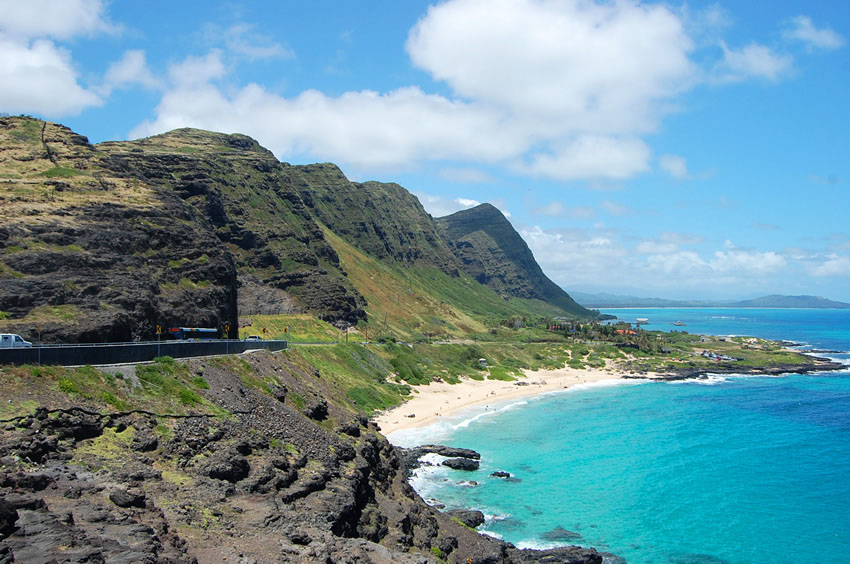
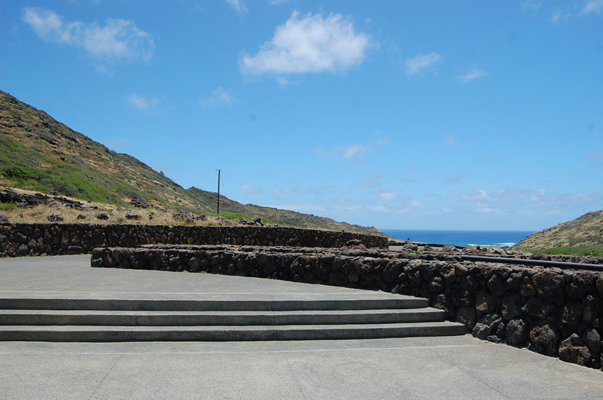
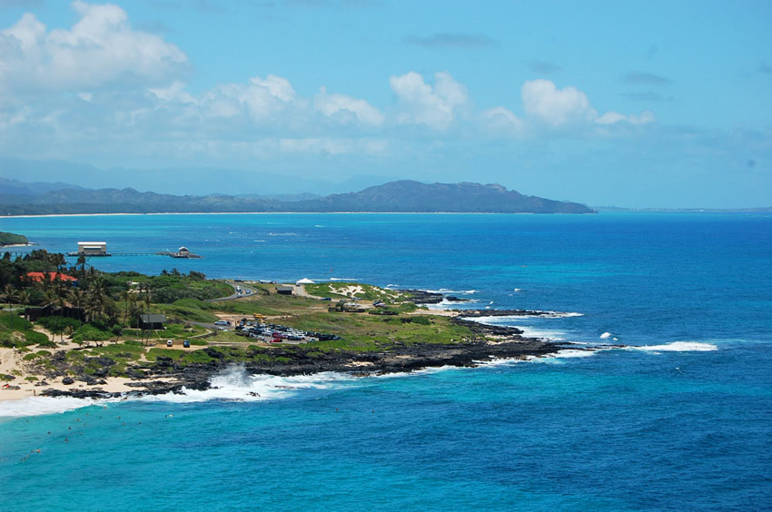
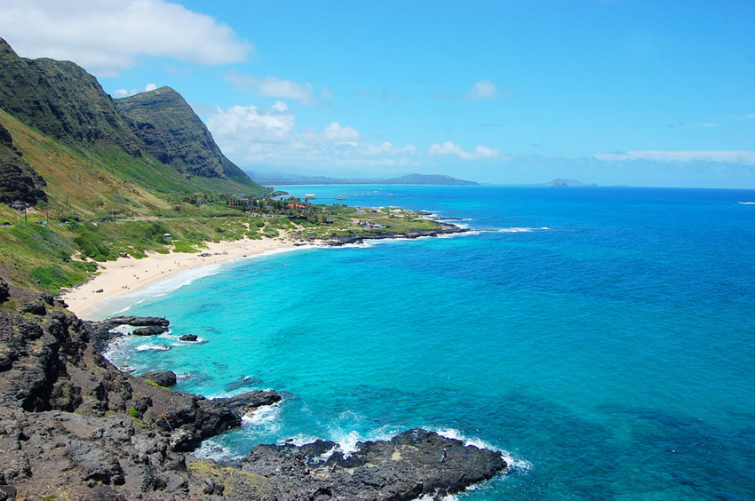
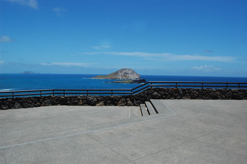
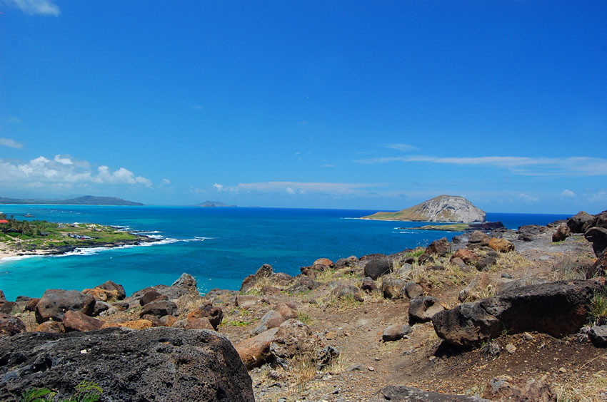
The Makapu'u Point Lookout is located just off Kalanianaole Highway on Oahu's southeastern tip. There is a parking lot and a paved walkway that leads to an area that overlooks Makapu'u Beach Park, the sea cliffs, as well as Rabbit Island (also known as Manana Island) and Kaohikaipu Island.
The lookout point is located within the 38-acre Makapu'u Point State Wayside Park, which also encompasses Makapu'u Head and the Makapu'u Point lighthouse. The lighthouse can't be seen from the lookout. To get there, one has to walk up the paved road that begins just below the entry to the lookout (on the Hawaii Kai side of the lookout). It's a 1.75-mile (2.8 km) trail.
Key Features
Reviews
Reviews and Ratings
Visitor rating
1 rated review
Been here? Share your experience
Visitor experiences
Newest firstQuentin Brown
Sat Jan 03, 2015
Map
Location, Parking and Directions
Makapu'u Lookout is along Kalanianaole Highway on Oahu's southeast shore, near Makapu'u Beach Park, Ka Iwi State Scenic Shoreline and the route between Hawaii Kai and Waimanalo. The map point is kept at the current page coordinates for the roadside lookout area.
Photos
Makapu'u Lookout Photos
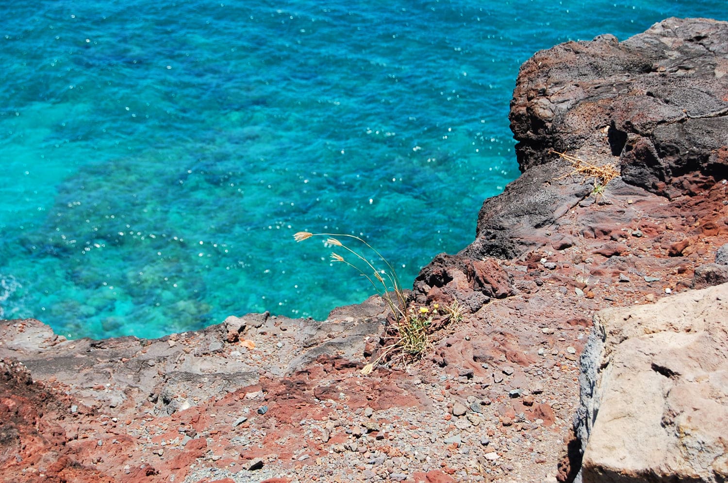
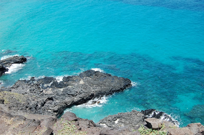
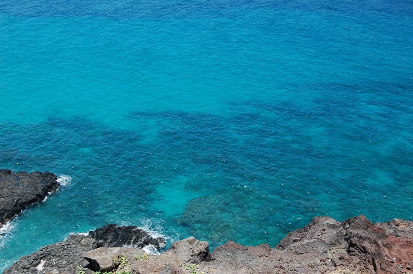
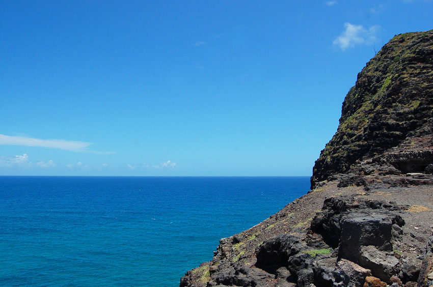
Makapu'u Lookout photos show blue water, Rabbit Island, Kaohikaipu Island, Makapu'u Beach, sea cliffs, the paved viewing area and southeast Oahu shoreline views.