Kamehameha V Highway (Mile 20-22)

Molokai Scenic Drive Guide

Kamehameha V Highway (Mile 20-22)

Kamehameha V Highway Mile 20 to 22 is a short but dramatic Molokai coastal drive east of Murphy's Beach, with narrow curves, sea cliffs, ocean spray, Rock Point and access toward Sandy Beach.

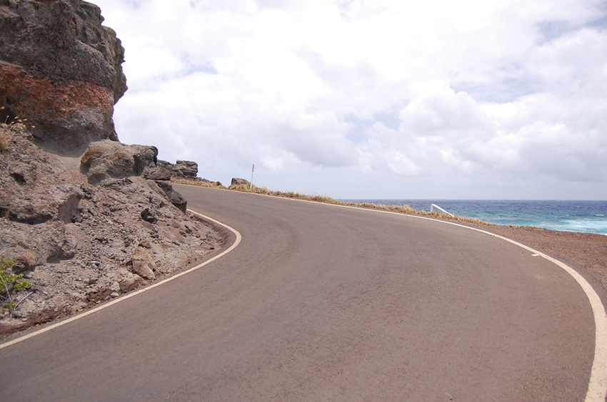
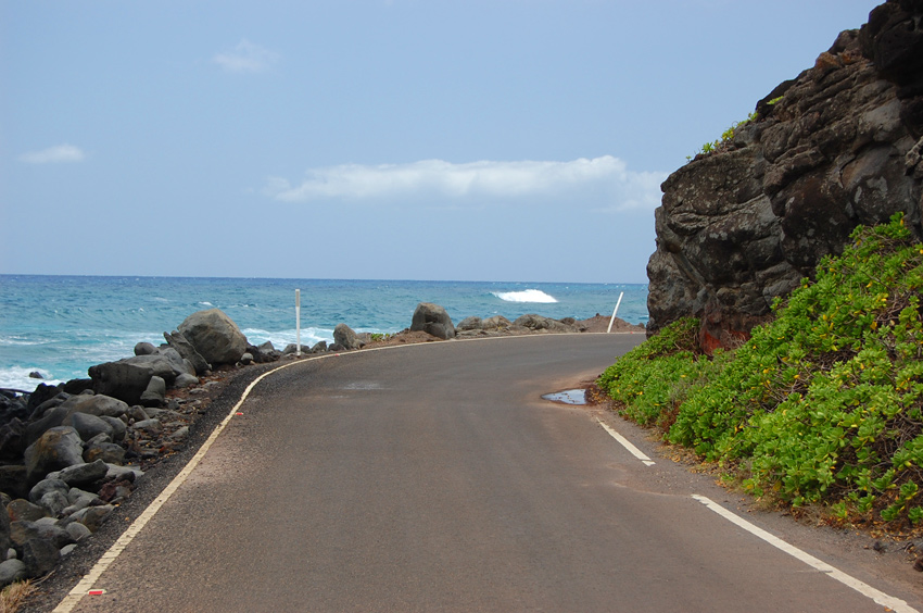
Another Blind Curve
Another Blind Curve

Kamehameha Highway (Mile 20-22), Molokai

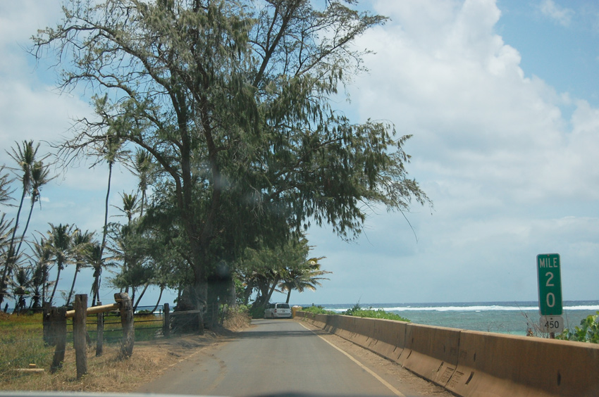
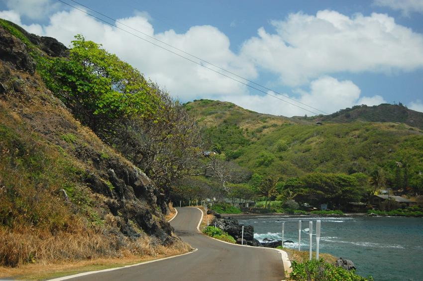
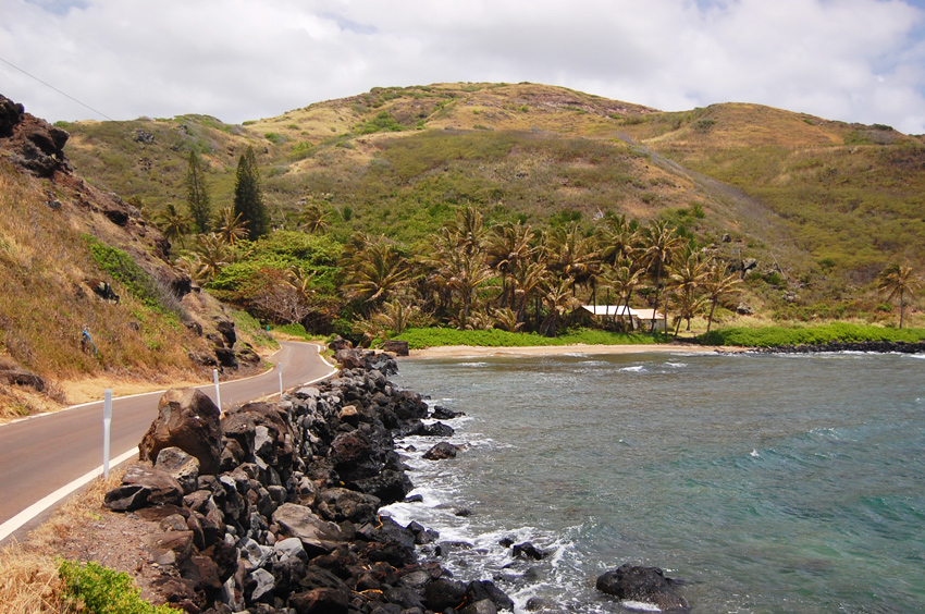
Kamehameha Highway (Hwy 450) leads along Molokai's southeastern shore, all the way from Kaunakakai to Halawa Valley. It is therefore also known as Halawa Valley Drive. This scenic drive only describes the section of Kamehameha Highway from Mile Marker 20 to 22. Mile Marker 20 is where popular Murphy's Beach (also known as Mile Marker 20 Beach) is located. This is one of the better-known Molokai beaches and a favorite snorkeling spot when the ocean is calm. Many people as well as small tour buses only drive up until here because after Murphy's Beach, the road gets narrower and curvier.

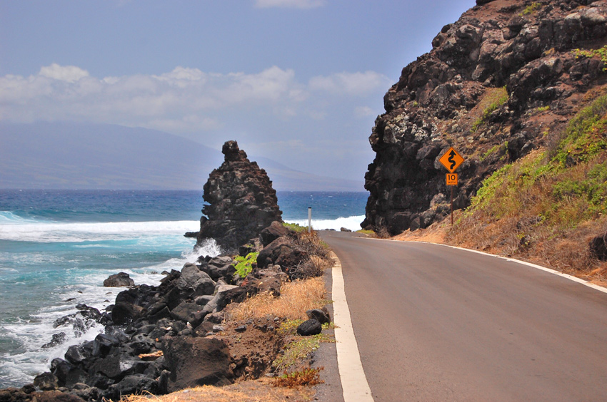
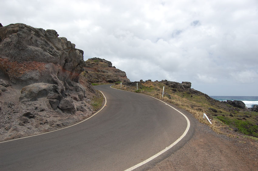
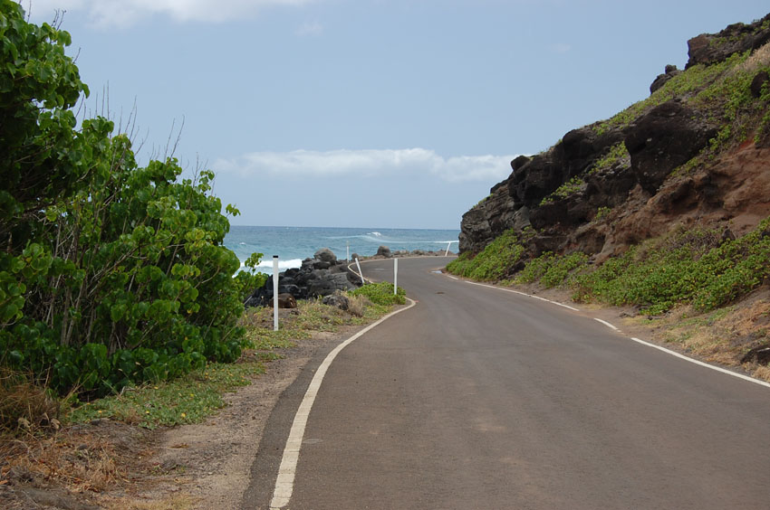
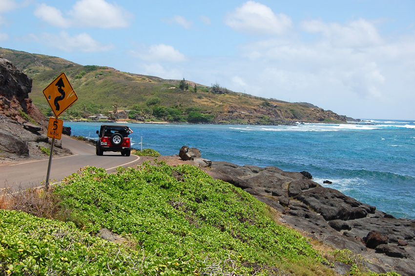
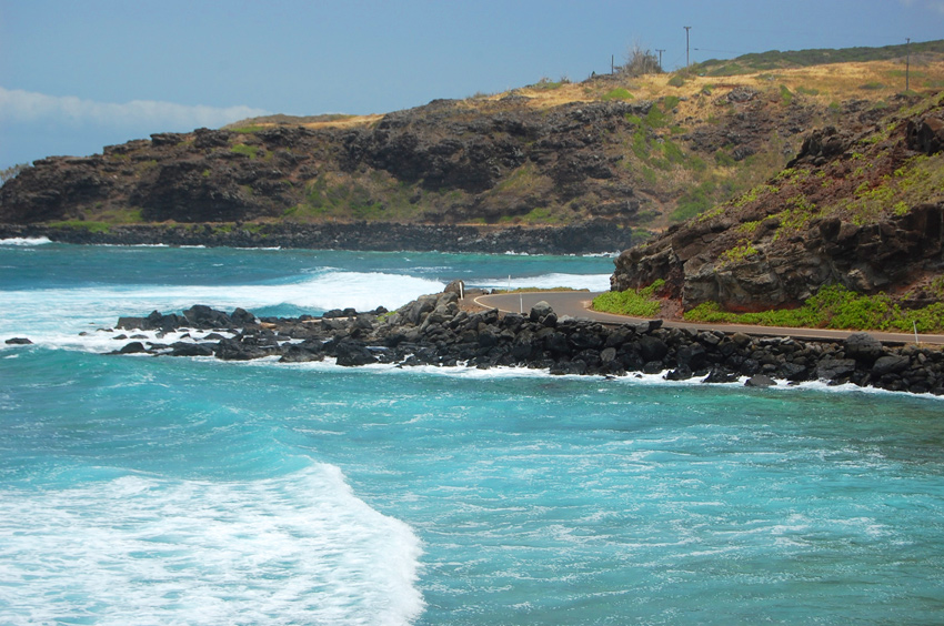
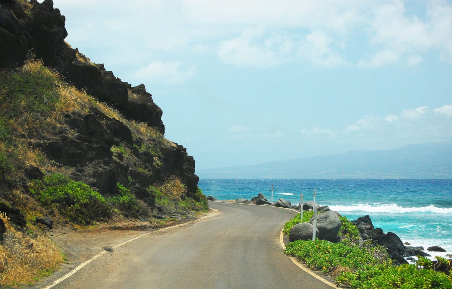
If you don't have time to drive all the way to Halawa Valley (another 7 miles) or simply don't have the nerves to drive on curvy one-lane road with many blind curves for too long, you can continue on for just another 2 miles (3.2 km) to Sandy Beach. This stretch of the road leads right along the ocean, so close that the spray of the waves sometimes splashes up onto the road. Along the way you'll also notice a rock formation on the ocean side right next to the road. It is known as Rock Point (Pohakuloa).

There is no room to stop anywhere because the road is just one lane wide, but since you'll be driving slowly and it's just 2 miles until Sandy Beach, you can still enjoy the views. Every 150-300 feet or so the road is a little wider to allow two cars going in opposite directions to pass each other. At Sandy Beach there is a spacious parking area where you can then easily turn around, or if you enjoy the adventure you can continue on all the way to Halawa Valley.

The two small islands that you can see about a mile offshore are called Moku Ho'oniki (the larger one) and Kanaha Rock. During World War II Moku Ho'oniki Island was used for bombing practice. There are still unexploded warheads on the island.
Visitor Reviews

Reviews and Ratings

Be the first to review Kamehameha V Highway (Mile 20-22).

Add Your Review
Your rating

Reviews are checked before they appear on the site. If a rating is not selected, the comment will not affect the average rating.

Location, Parking and Directions

Kamehameha V Highway Mile 20 to 22 is on Molokai's southeastern shore. From Murphy's Beach at Mile Marker 20, continue east on Highway 450 toward Rock Point and Sandy Beach. The map marker identifies a point on Highway 450 along this narrow coastal section.

Loading map…

Videos

Frequently Asked Questions

Where is Kamehameha V Highway Mile 20 to 22?

This short section of Highway 450 begins near Murphy's Beach, also called Mile Marker 20 Beach, and continues east along Molokai's southeastern shoreline toward Sandy Beach.

Why is this stretch of Highway 450 scenic?

The road runs very close to the ocean, with coastal views, sea cliffs, wave spray, blind curves, rocky shoreline scenery and views toward offshore islets on clear days.

Is the Mile 20 to 22 drive difficult?

It can feel more challenging than the easier Kaunakakai-to-Mile-20 section. Expect narrow curves, limited shoulders, passing areas and places where drivers must slow down and yield carefully.

Can visitors stop along the road?

There is very little room to stop safely along much of the narrow shoreline section. Use established pullouts or beach parking areas, and avoid blocking the road or stopping on blind curves.

What should visitors check before driving this section?

Check current road closures, surf, weather and debris conditions before going. This shoreline road can be affected by high surf, rockfall, runoff and storm debris.