

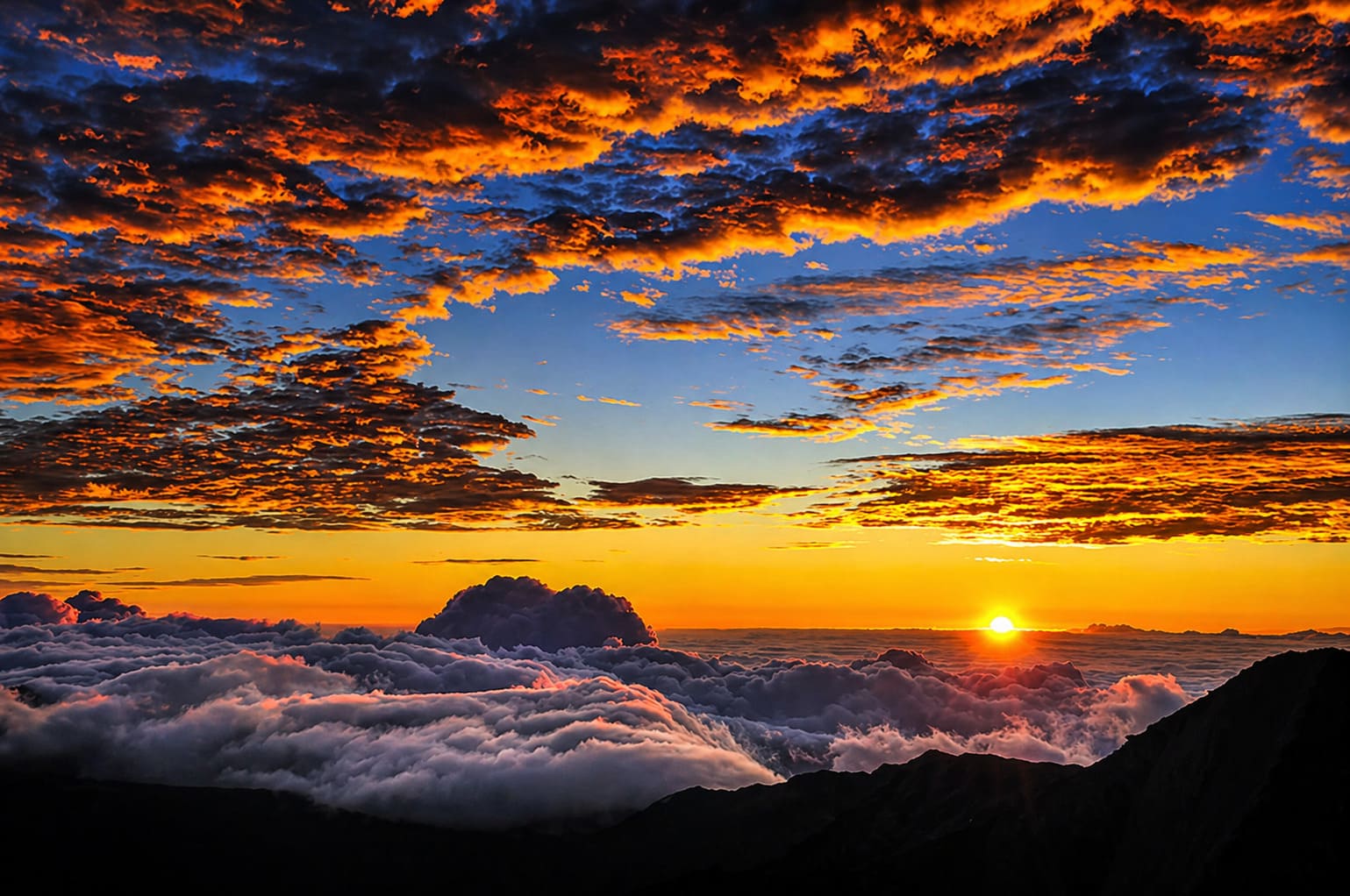
Maui Geography Guide
Maui Geography
Explore Maui geography, from Haleakala and the West Maui Mountains to the central isthmus, major summits, rainfall patterns and Maui Nui history.
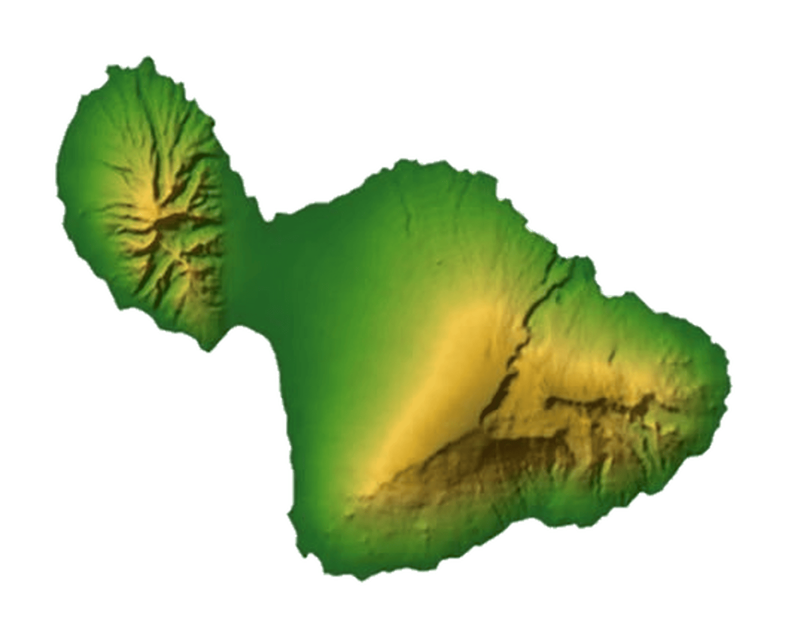
Maui is the second largest of the main Hawaiian Islands after the Big Island, covering 727.2 square miles, or 1,883.5 square kilometers. The island was formed by two shield volcanoes: the older West Maui Mountains and the larger Haleakala volcano in East Maui.
These two volcanic landforms sit close enough together that their lava flows overlapped over time, creating the low-lying central isthmus between them. This isthmus helps give Maui its distinctive shape and separates the mountainous west side from the broad volcanic slopes of Haleakala.
Two Shield Volcanoes Joined by an Isthmus
The West Maui Mountains are the older of Maui's two volcanic regions. Erosion has deeply carved this area into valleys, ridges and steep green slopes. Its highest peak is Pu'u Kukui, which rises 5,788 feet, or 1,764 meters.
Haleakala dominates East Maui and rises to 10,023 feet, or 3,055 meters. At one point, Haleakala was much taller than it is today. Like all Hawaiian islands, Maui continues to erode over time, and its mountains slowly shrink as wind, rain and waves reshape the island.
Maui's Major Summits
The chart below shows several of Maui's best-known summits and landmarks by elevation:
| Mountain or Landmark | Feet | Meters |
|---|---|---|
| Haleakala | 10,023 | 3,055 |
| Pu'u Kukui | 5,788 | 1,764 |
| Iao Needle | 2,250 | 686 |
Windward Rainfall and Dry Leeward Slopes
The eastern and windward slopes of Maui's mountains are greener and wetter, with rainforests, waterfalls and lush valleys. The western and leeward slopes are much drier because Maui's mountains block some of the moisture carried by the trade winds.
These trade winds usually arrive from the northeast. As the moisture-laden air rises over the mountains, clouds cool and release rain. This pattern helps explain why places such as the Road to Hana region feel lush and tropical, while South Maui and parts of West Maui are sunnier and drier.
Haleakala and Maui's Volcanic Future
The last volcanic eruption on Maui occurred around 1790 at Haleakala's Southwest Rift Zone. Haleakala is considered dormant, not extinct, and volcanologists believe it could erupt again in the future.
Even without active eruptions today, Maui's volcanic origins remain visible throughout the island. The broad slopes of Haleakala, the eroded valleys of the West Maui Mountains and the low central isthmus all show how volcanic activity shaped the island.
Maui Nui and the Neighbor Islands
About 20,000 years ago, Maui was connected to nearby Molokai, Lanai and Kahoolawe as part of a larger landmass known as Maui Nui, meaning Big Maui. During that period, sea levels were lower because of the last ice age.
As sea levels rose and the islands continued to erode, Maui Nui gradually separated into the islands we know today. The ocean channels between Maui, Molokai, Lanai and Kahoolawe are still relatively shallow compared with many other channels in Hawaii.
Geologists believe Maui will continue to change over time. In the distant future, the low central isthmus may eventually be covered by water, separating Maui into two smaller islands.

Frequently Asked Questions
What volcanoes formed Maui?
Maui was formed by two shield volcanoes: Haleakala in the east and the older West Maui Mountains in the northwest. Their lava flows helped create the island's central isthmus.
How large is Maui?
Maui covers about 727.2 square miles, or 1,883.5 square kilometers, making it the second largest of the main Hawaiian Islands after the Big Island.
What is the highest point on Maui?
Haleakala is the highest point on Maui at 10,023 feet, or 3,055 meters. The summit is much cooler than the island's coastal areas.
Why is one side of Maui greener than the other?
Moist trade winds usually arrive from the northeast and drop rain on windward slopes. Leeward areas are shielded by the mountains, so they are usually drier and sunnier.
What was Maui Nui?
Maui Nui was a larger ancient landmass that connected Maui, Molokai, Lanai and Kahoolawe when sea levels were lower during the last ice age.