

Molokai Geography Guide
Molokai Geography
Explore Molokai geography, from East and West Molokai volcanoes to Kamakou, tall north shore sea cliffs, the south shore reef and Maui Nui history.
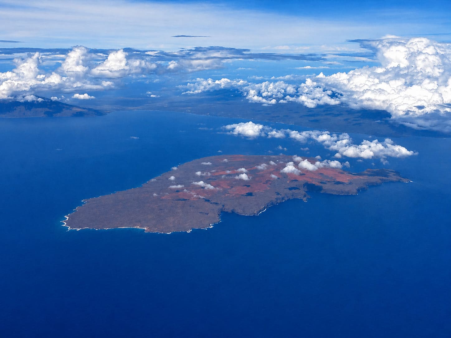
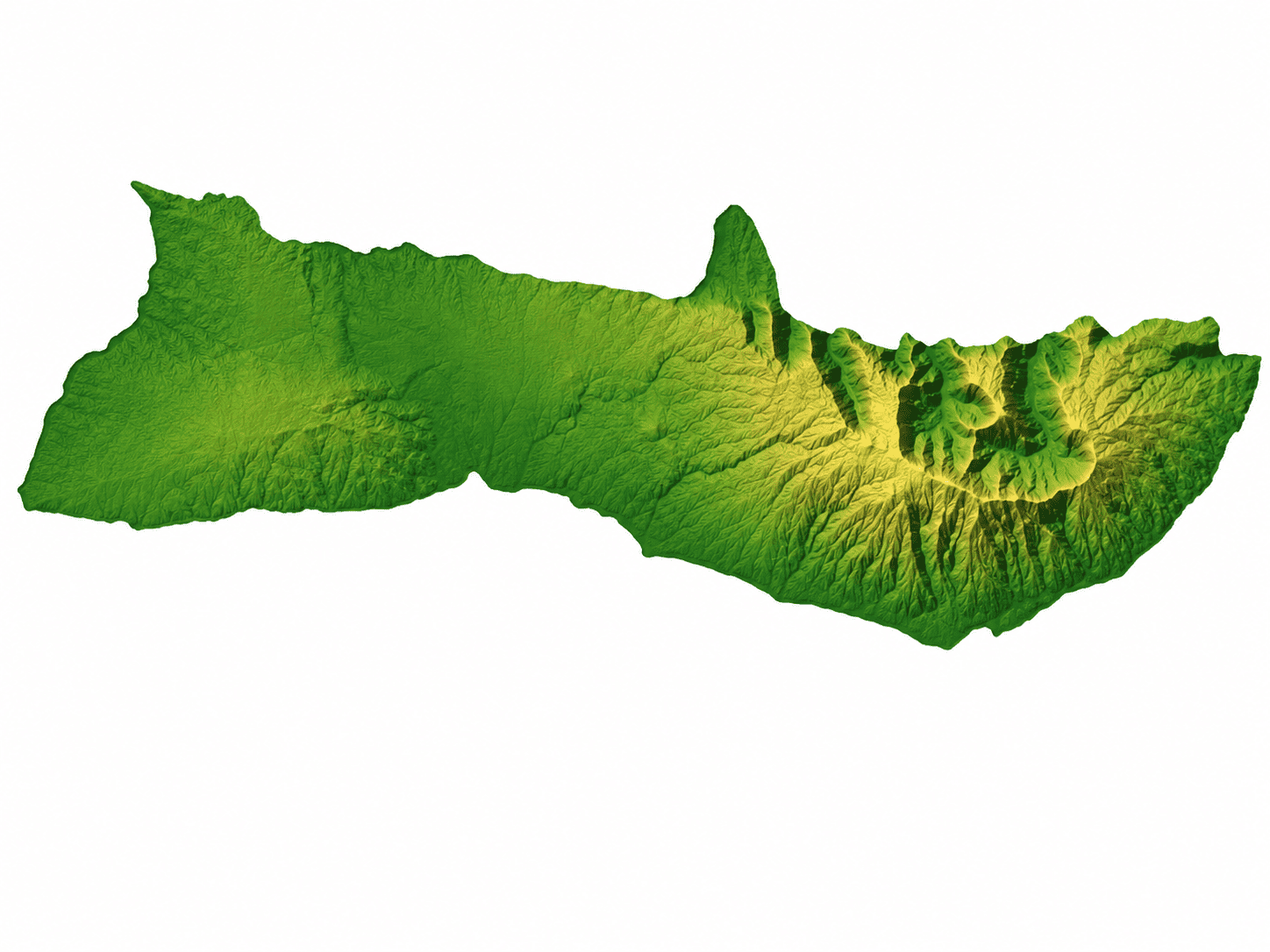
Molokai is the fifth largest of the six main Hawaiian Islands. Only Lanai is smaller among the main inhabited islands. Molokai covers about 260 square miles, or 673.4 square kilometers, and measures about 38 miles from east to west and about 10 miles from north to south at its widest points.
The island has about 88 miles of shoreline and a long, narrow shape. Its geography is defined by dramatic contrasts: tall sea cliffs along the north shore, a broad fringing reef along the south shore, dry lowlands in the west and greener highlands in the east.
Two Shield Volcanoes
Molokai was formed by two shield volcanoes: East Molokai, also known as Wailau, and West Molokai, also known as Mauna Loa. East Molokai is the taller and more dramatic of the two, while West Molokai is lower, drier and more eroded.
Molokai's highest peak is Kamakou, which rises 4,961 feet, or 1,512 meters, on East Molokai. This highland area receives more moisture than the lower coastal regions and helps create some of the island's greener landscapes.
Molokai's Tallest Mountains
The chart below shows Molokai's main volcanic high points:
| Mountain or Volcano | Feet | Meters |
|---|---|---|
| Kamakou | 4,961 | 1,512 |
| East Molokai (Wailau) | 3,970 | 1,210 |
| West Molokai (Mauna Loa) | 1,381 | 421 |
North Shore Sea Cliffs
East Molokai used to be much larger than it is today. About 1.5 million years ago, the northern part of the volcano collapsed and slid toward the ocean floor. Today, the island's north shore shows the remains of that huge geologic event.
The north shore sea cliffs are one of Molokai's most striking features. They drop more than 3,000 feet to the Pacific Ocean and are often described as the tallest sea cliffs in the world. These cliffs help give Molokai its rugged, remote and dramatic northern coastline.
South Shore Reef and Kaunakakai
Molokai's south shore has the longest fringing reef in the United States, stretching almost 25 miles. This reef creates a broad shallow nearshore area and gives the south shore a very different character from the steep cliffs of the north shore.
Kaunakakai, the island's largest town, is located on the south shore. Molokai is part of Maui County, which also includes Maui, Lanai and Kahoolawe.
Molokai and Maui Nui
About 20,000 years ago, Molokai was connected to Maui, Lanai and Kahoolawe as part of a much larger landmass called Maui Nui, meaning Big Maui. During that time, sea levels were lower because of the last ice age.
As sea levels rose and the islands continued to erode, Maui Nui gradually separated into the islands we know today. The ocean channels between these islands are still relatively shallow compared with many other channels in Hawaii.
How Molokai's Geography Shapes the Island
Molokai's geography has helped preserve its quiet, rural character. The steep north shore limits road access, while the south shore reef shapes the coastline near Kaunakakai and nearby communities. The higher eastern mountains bring more moisture, while the lower western side is much drier.
This mix of cliffs, reef, volcanic highlands and dry lowlands makes Molokai feel very different from the larger resort islands. It is smaller and quieter, but its geography is powerful and easy to see in the island's cliffs, mountains, coastline and open landscapes.


Frequently Asked Questions
What volcanoes formed Molokai?
Molokai was formed by two shield volcanoes: East Molokai, also known as Wailau, and West Molokai, also known as Mauna Loa. East Molokai is the larger and taller volcanic section.
What is the highest point on Molokai?
Kamakou is the highest point on Molokai. It rises 4,961 feet, or 1,512 meters, and is part of the East Molokai volcano.
Are Molokai's north shore sea cliffs really that tall?
Yes. Molokai's north shore sea cliffs drop more than 3,000 feet to the Pacific Ocean and are often described as the tallest sea cliffs in the world.
What is special about Molokai's south shore?
Molokai's south shore has the longest fringing reef in the United States, stretching for almost 25 miles and creating a broad protected reef environment.
What was Maui Nui?
Maui Nui was a larger ancient landmass that connected Maui, Molokai, Lanai and Kahoolawe when sea levels were lower during the last ice age.