Rock Point (Pohakuloa)

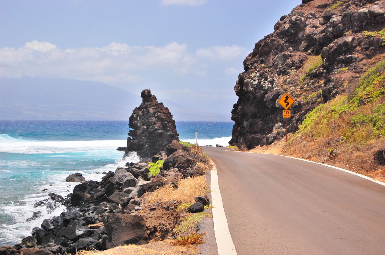
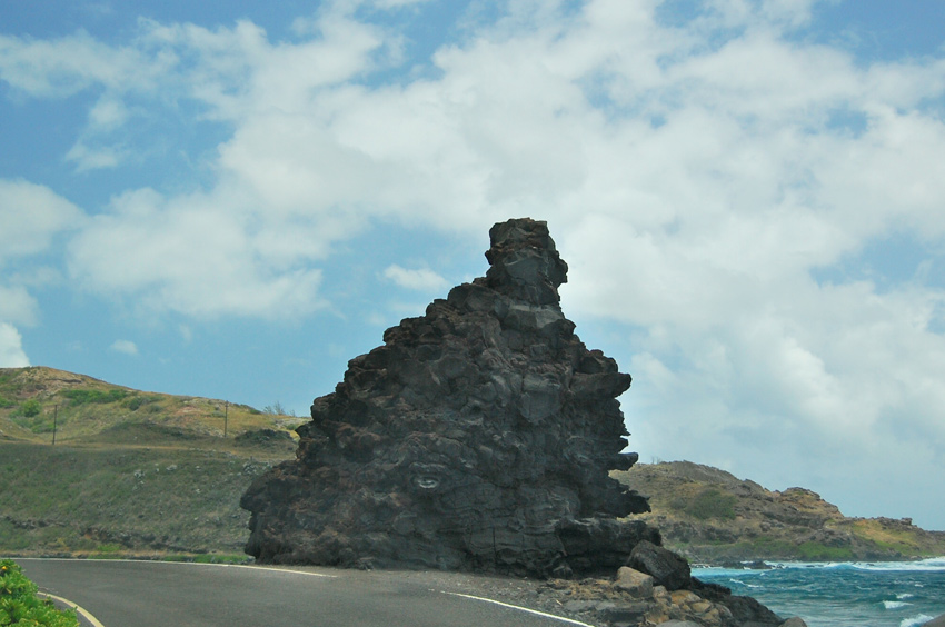
Rock Point, also known as Pohakuloa, is a tall volcanic roadside landmark on east Molokai, standing between Kamehameha Highway and the sea cliff near mile markers 21 and 22.

Rock Point (Pohakuloa), Molokai

This rock formation is located right on Kamehameha Highway, between mile markers 21 and 22, along a narrow stretch of the east Molokai coastal drive. In the Hawaiian language it is also known as Pohakuloa, meaning the “long stone.” When the road along this shoreline was constructed at the base of the sea cliffs, this rock was left standing and the road was built between it and the sea cliff.

Key Features

Tall volcanic roadside formation on Molokai's southeast shore
Also known as Pohakuloa, commonly translated as long stone
Located between mile markers 21 and 22 on Kamehameha Highway / Highway 450
Part of the east Molokai coastal drive toward Halawa Valley
The road passes between the rock and the sea cliff
No formal parking lot or visitor facilities
Little room to pull over near the rock
Stop only where it is clearly safe and legal
Do not block traffic or stand in the roadway for photos
Do not climb, mark or damage the rock formation

Frequently Asked Questions

Where is Rock Point / Pohakuloa located?

Rock Point / Pohakuloa is between mile markers 21 and 22 on Kamehameha Highway / Highway 450 along Molokai's southeastern shoreline.

What does Pohakuloa mean?

Pohakuloa is commonly translated as long stone, a fitting name for the tall rock formation beside the road.

Can visitors park at Rock Point?

There is no formal parking lot. Stop only where it is clearly safe and legal, and never block the roadway or passing areas.

Is Rock Point a developed attraction?

No. Rock Point is a natural roadside landmark with no restrooms, visitor center, picnic area or developed facilities.

How should visitors see Rock Point safely?

Drive slowly, watch for oncoming traffic, avoid stopping in the roadway and do not climb the rock formation.