


Ho'olehua
Ho'olehua is a rural community in central Molokai known for its peaceful setting near the island's airport. Elevated at 620 feet, it offers quick access to local landmarks like Purdy's Macadamia Nut Farm and Molokai High School. The name was officially standardized in 2003.
Ho'olehua, Molokai
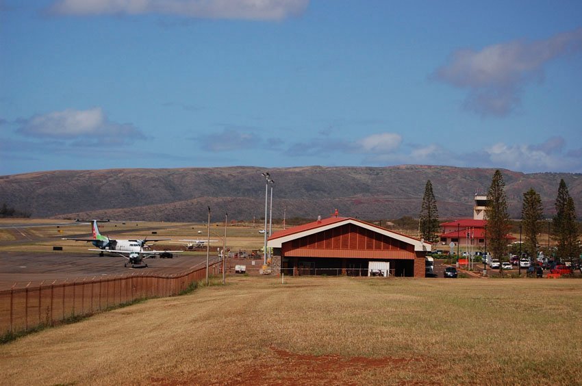
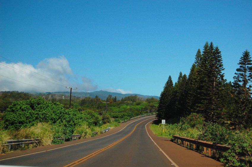
Ho'olehua (view panorama) × is located in the northern part of Molokai, off of Highway 460, near the Molokai airport. It is a small community situated 620 feet (189 m) above sea level. In the past, the community's name was spelled in different ways, so in 2003, the Board on Geographic Names finally designated it Ho'olehua.
Key Features of Ho'olehua
- Central location: Situated just north of Highway 460 and close to Molokai Airport, ideal for travelers arriving or departing the island.
- Historic naming: Official spelling of “Ho'olehua” adopted by the Board on Geographic Names in 2003.
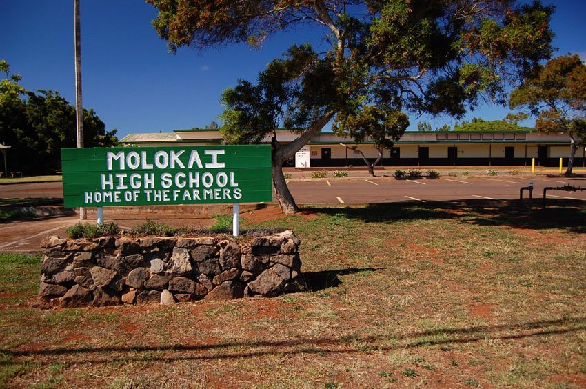
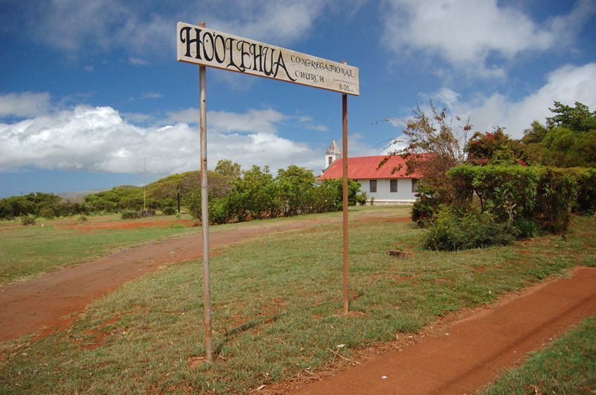
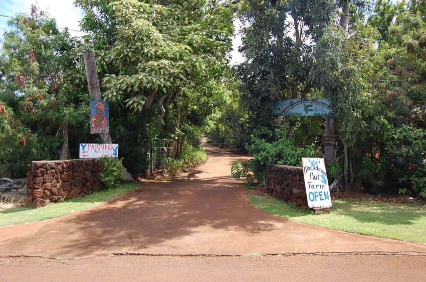
- Local attractions: Home to Purdy's Macadamia Nut Farm, Molokai High School, and Ho'olehua Congregational Church.
- Peaceful elevation: Located 620 feet (189 meters) above sea level, offering cooler temperatures and a serene atmosphere.
- Community character: A quiet, residential area reflecting Molokai's rural charm and cultural heritage.


Frequently Asked Questions
Where is Ho'olehua located?
Ho'olehua is located near Molokai Airport, in central Molokai, just off Highway 460.
Why is the name Ho'olehua significant?
The name's spelling was officially recognized in 2003 by the Board on Geographic Names after years of variations.
What is there to see in Ho'olehua?
Popular spots include Purdy's Macadamia Nut Farm, local churches, and Molokai High School.
Is Ho'olehua close to the airport?
Yes, it is the closest residential community to Molokai Airport (MKK), making it convenient for visitors.
What is the elevation of Ho'olehua?
Ho'olehua sits at approximately 620 feet (189 meters) above sea level.