Farrington Highway (North Shore)

Oahu Scenic Drive Guide

Farrington Highway (North Shore)

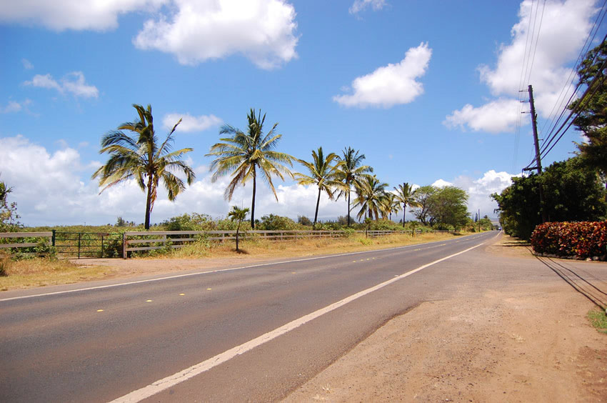
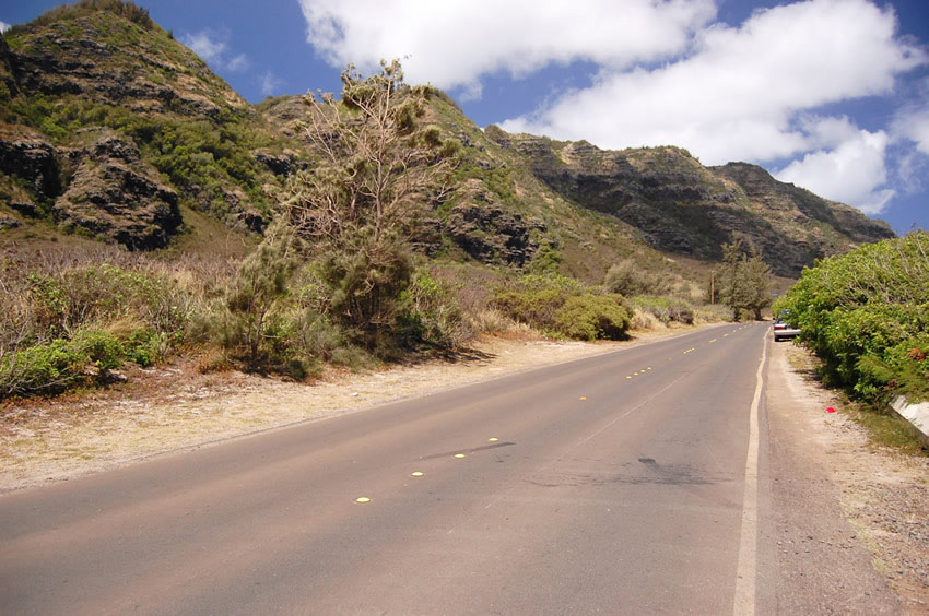
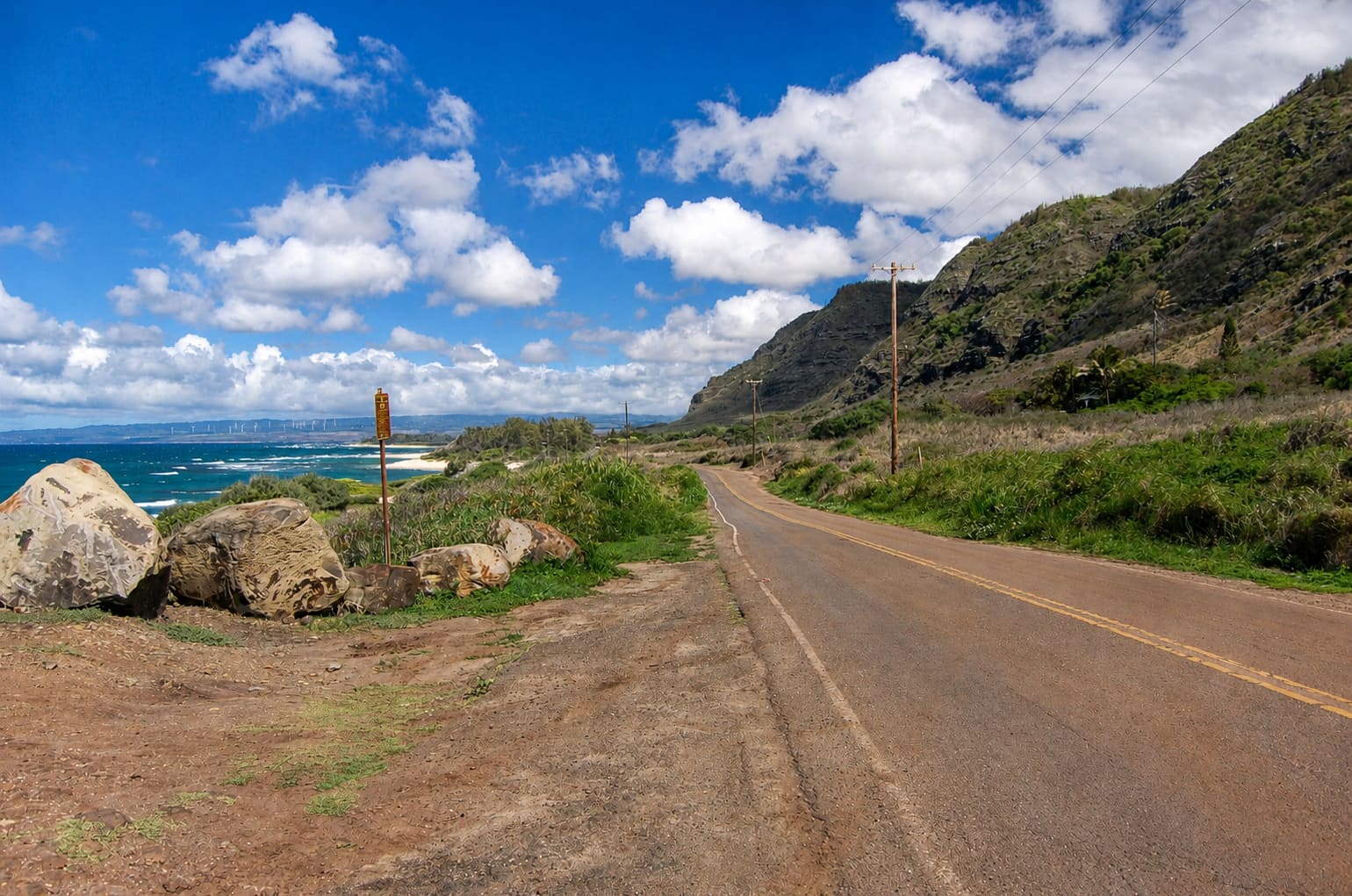
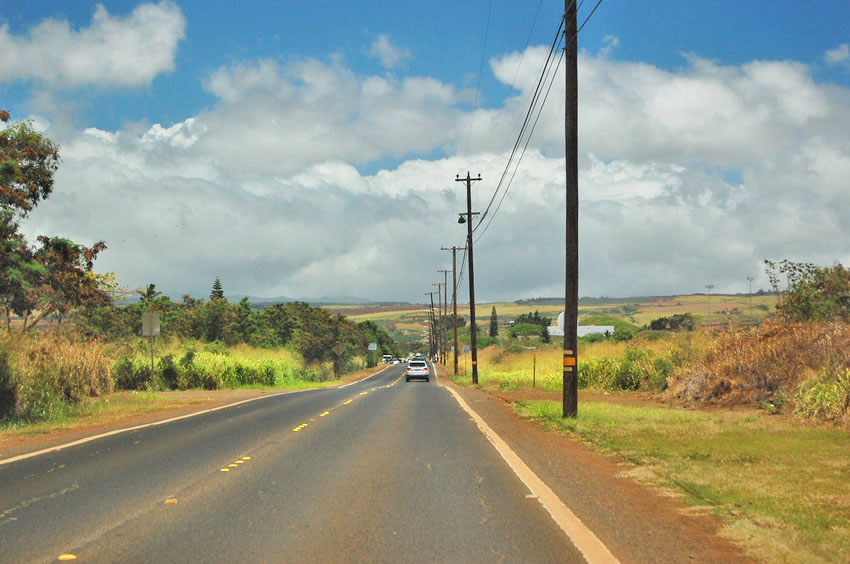
Farrington Highway on Oahu's North Shore runs from Waialua and Mokuleia toward Camp Erdman and Kaena Point, with Waianae Mountain views, remote beaches, Kawaihapai Airfield and a quiet rural coastline.

Driving to Waialua
Driving to Waialua

Farrington Highway (North Shore), Oahu

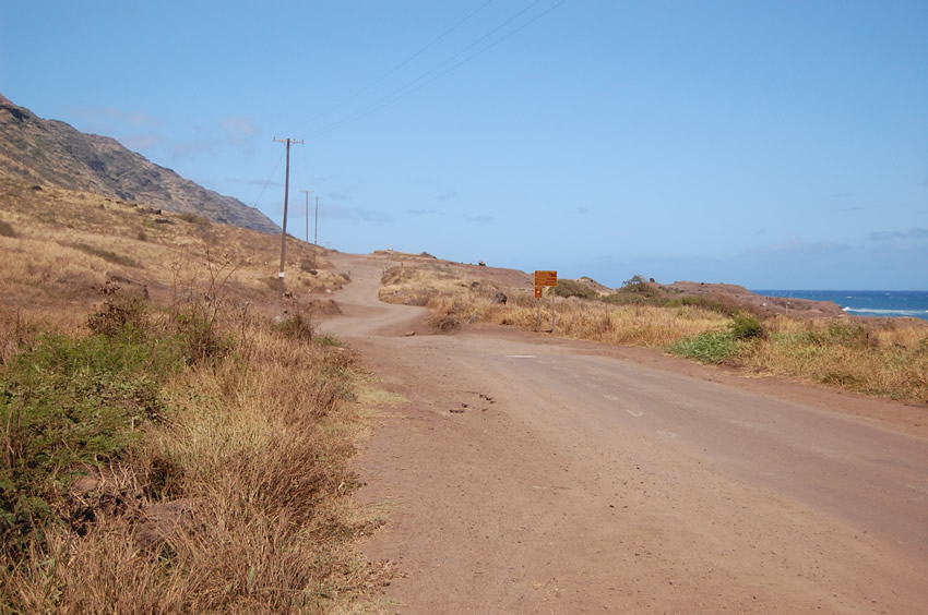
There are two Farrington Highways on Oahu. One is one the north shore, the other one on the west shore. Both highways are dead end roads, interrupted by the inaccessible northwestern tip of the island, Kaena Point. The Waianae Mountain Range begins here and on the foothills of these mountains is a seabird sanctuary (albatrosses and other seabirds nest here). But no road leads here. The area is only accessible on foot.

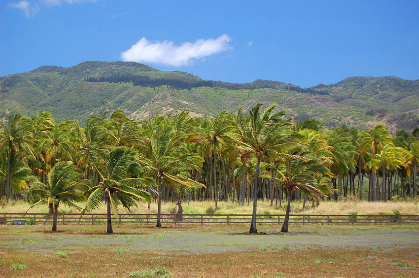
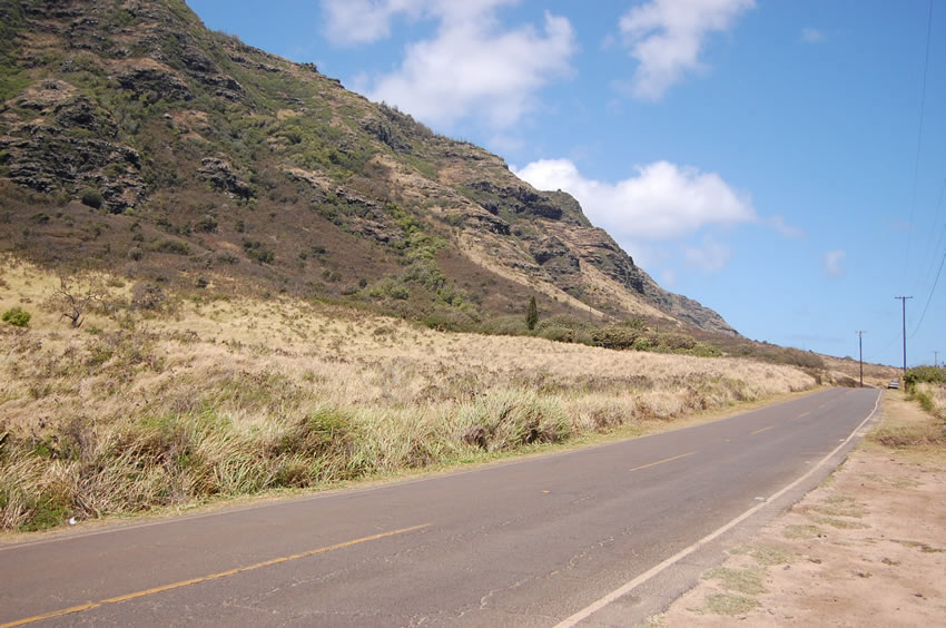
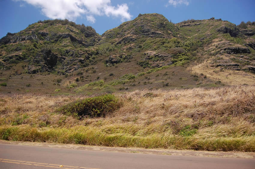
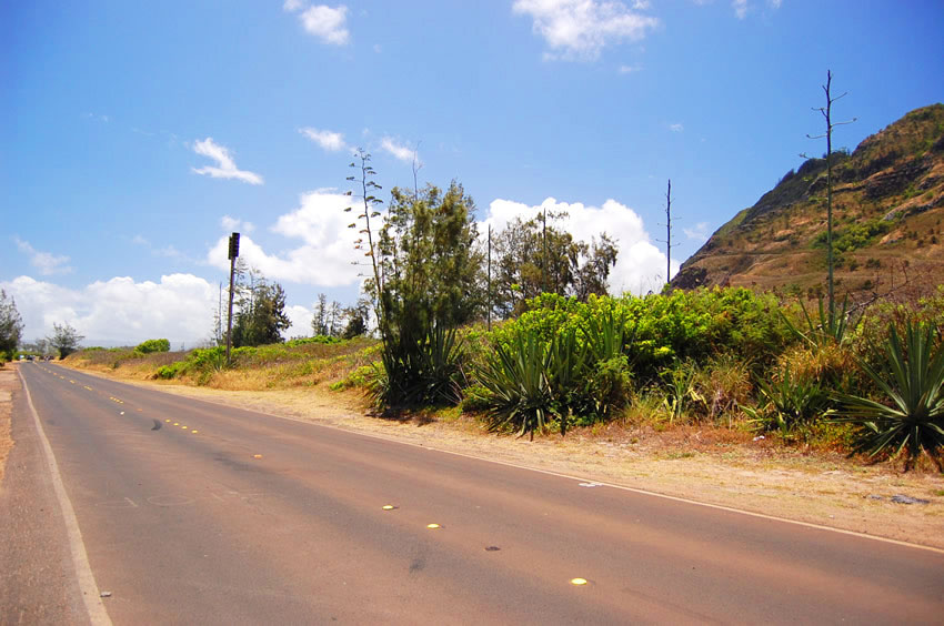
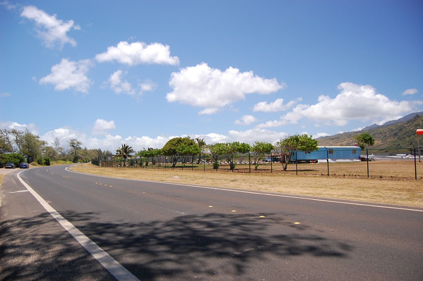
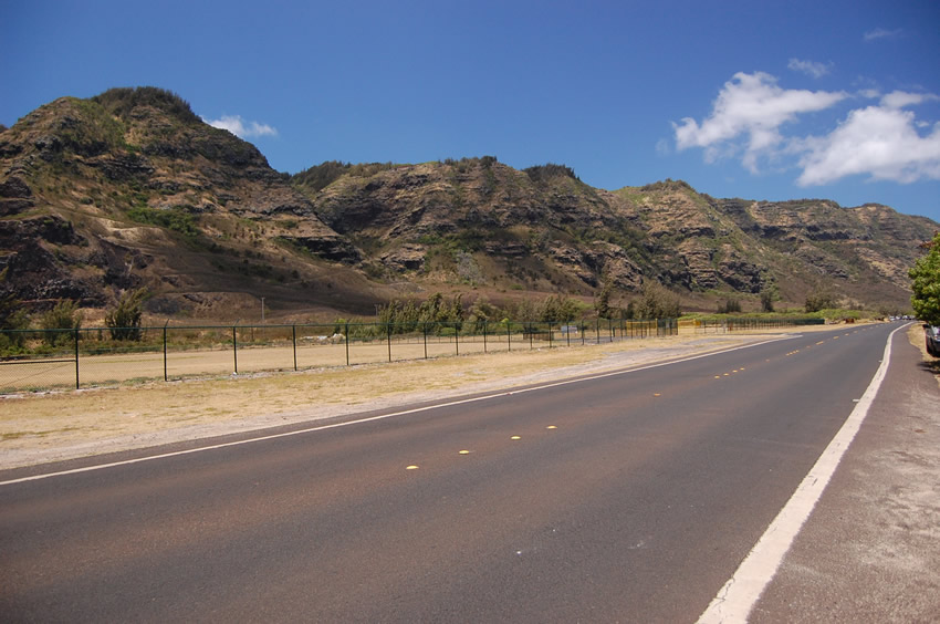
The stretch of Farrington Highway on Oahu's north shore begins in the small town of Waialua. It ends just past Camp Erdman, right before Kaena Point State Park begins. The two-lane road leads along the coastline and a few scenic beach parks, including Mokuleia Beach Park and Army Beach. On the other side of the highway is Dillingham Airfield, so you may also see small planes start and land from up-close. The green Waianae Mountains provide a scenic backdrop.


Visitor Reviews

Reviews and Ratings

Be the first to review Farrington Highway (North Shore).

Add Your Review
Your rating

Reviews are checked before they appear on the site. If a rating is not selected, the comment will not affect the average rating.

Location, Parking and Directions

Farrington Highway on Oahu's North Shore runs west from Waialua and Mokuleia toward Camp Erdman and the Kaena Point access area. From Waialua, follow Farrington Highway west along the coast until the public road approaches the gated Kaena Point area. The map marker identifies a point on Farrington Highway near the Kaena Point State Park side of the North Shore route.

Loading map…

Videos

Frequently Asked Questions

Where is Farrington Highway on Oahu's North Shore?

This section of Farrington Highway runs west from Waialua and Mokuleia toward Camp Erdman and the Kaena Point access area on Oahu's northwestern shore.

Can visitors drive all the way to Kaena Point?

No. Public driving ends before Kaena Point. Current DLNR notices say the Mokuleia vehicle access road remains closed because of unsafe road conditions, though pedestrian and bicycle access may remain available when the area is open.

What beaches are along this drive?

The route passes remote shoreline areas such as Mokuleia Beach Park, Army Beach and Camp Erdman Beach before continuing toward the Kaena Point side of the coast.

What is near the inland side of the highway?

Kawaihapai Airfield, formerly Dillingham Airfield, sits near the inland side of the road. Visitors may see gliders, skydiving operations or small aircraft activity depending on the day.

What should visitors check before going?

Check current Kaena Point access, road closures, surf, weather and parking conditions before driving. Bring water and sun protection if you plan to walk beyond the road end.