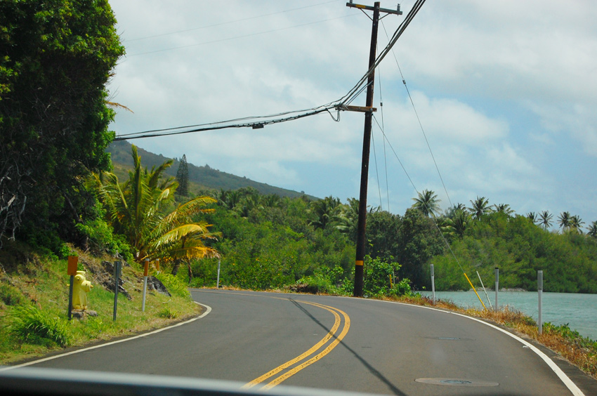
Kamehameha V Highway (Mile 1-20)

Molokai Scenic Drive Guide

Kamehameha V Highway (Mile 1-20)

Kamehameha V Highway follows Molokai's peaceful south shore from Kaunakakai toward the island's east end, passing fishponds, beach parks, churches, mountain views and quiet coastal scenery.

Blind Curve
Blind Curve

Kamehameha Highway (Mile 1-20), Molokai

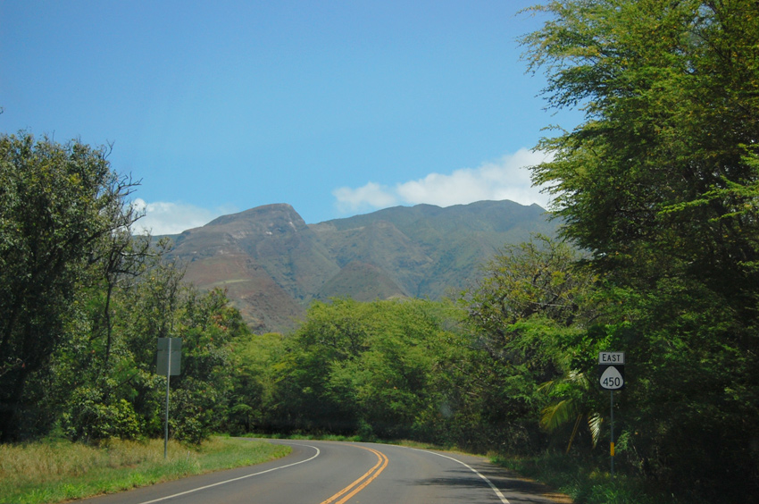
Kamehameha Highway (Hwy 450) leads along Molokai's south shore, all the way from Kaunakakai (Molokai's main town) to its dead end at Halawa Valley. This scenic drive only describes the section of Kamehameha Highway from Kaunakakai to Murphy's Beach (also known as Mile Marker 20 Beach or Twenty Mile Beach because it is 20 miles from Kaunakakai).

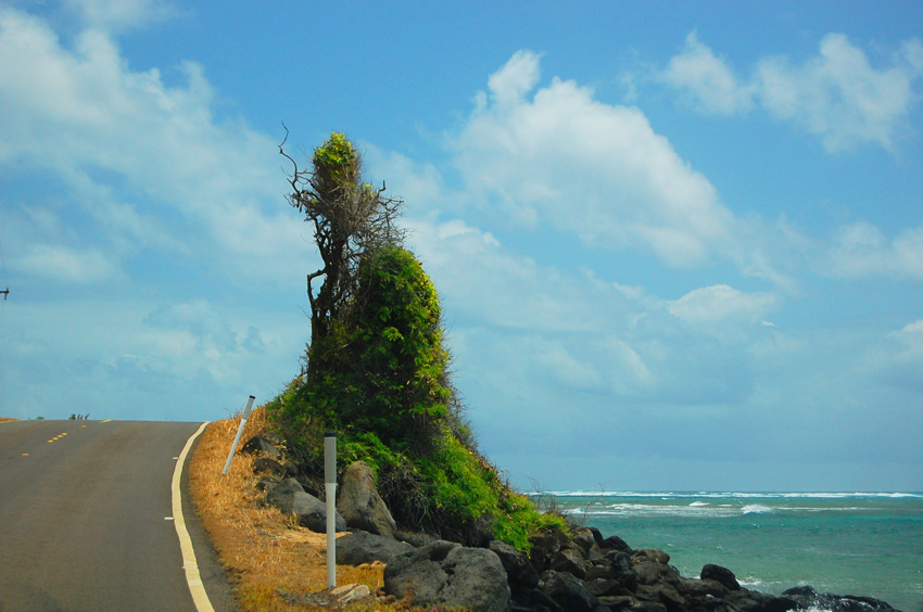
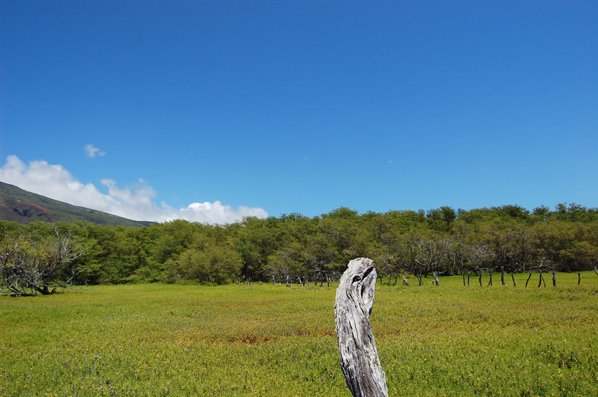
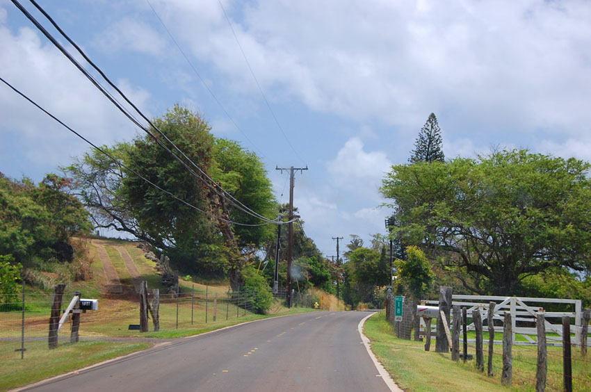
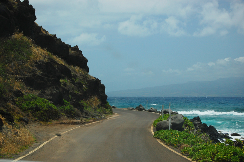
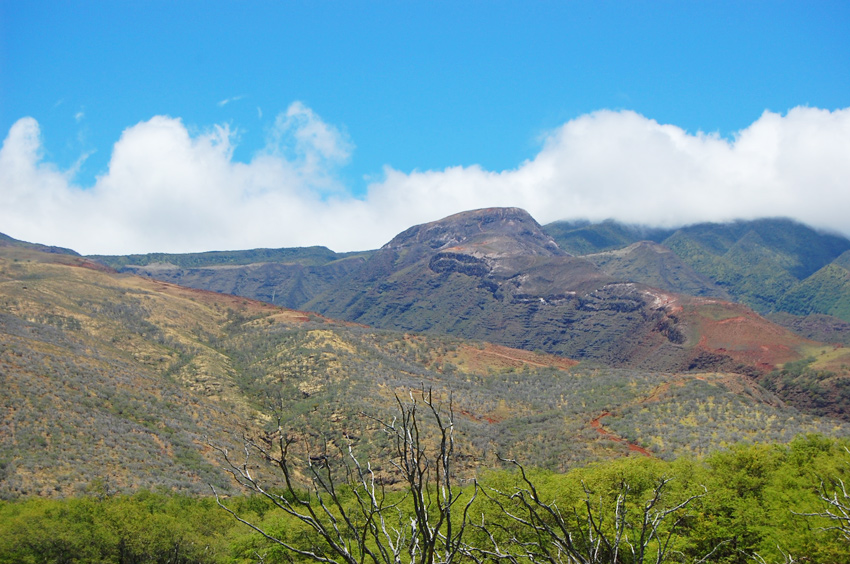
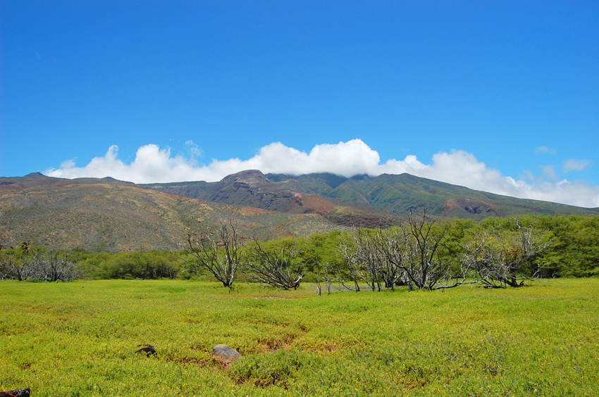
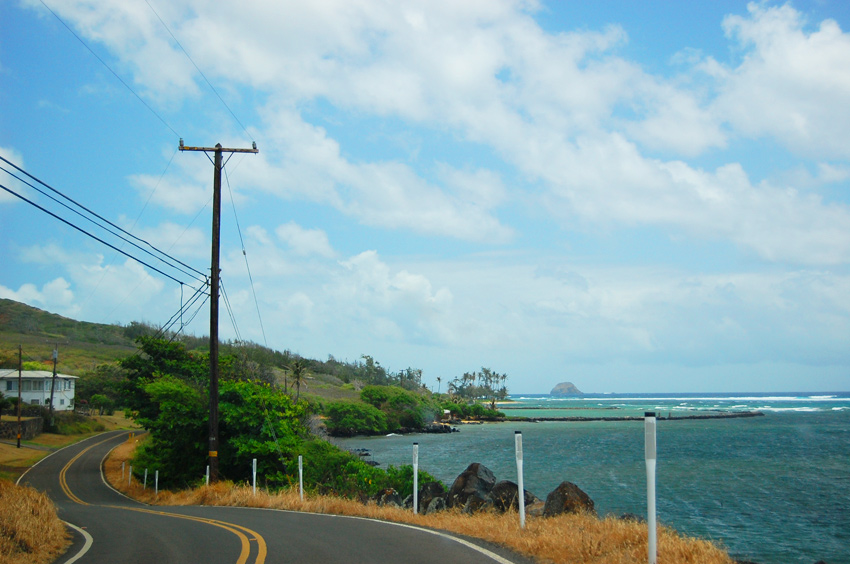
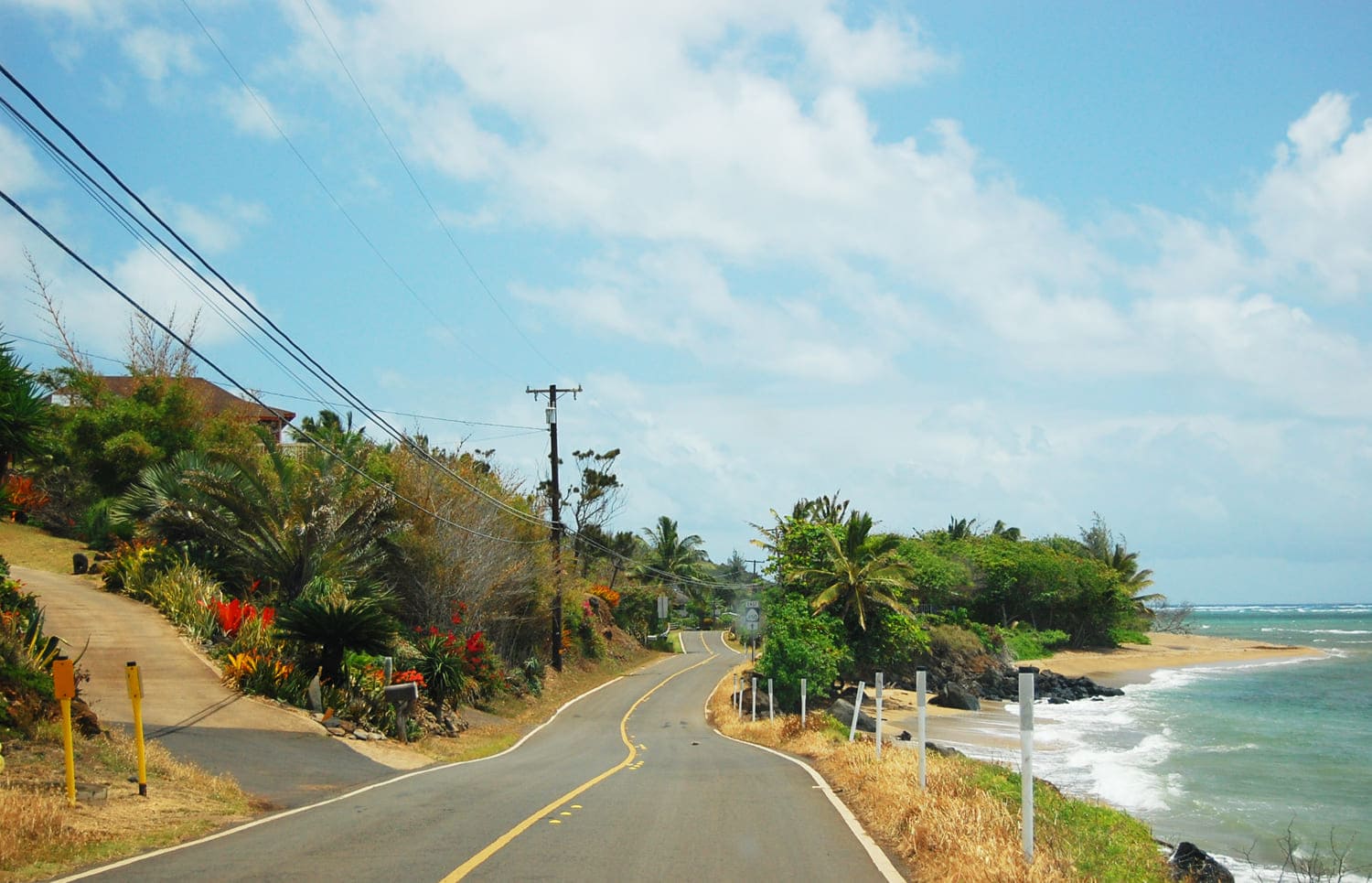
This stretch of the highway is for the most part two lanes wide (except for the last mile leading to Murphy's Beach). It is a nice drive with views of the ocean on one side of the highway and views of the mountains on the other.

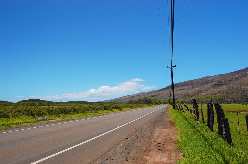
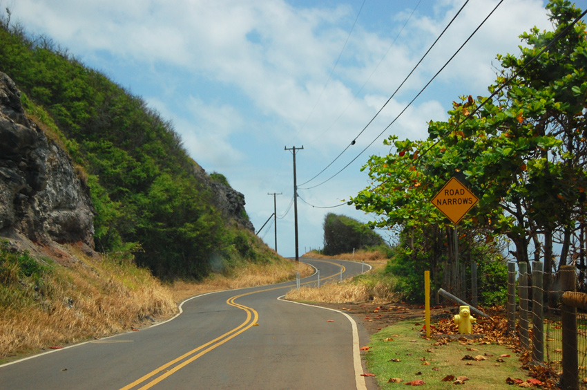
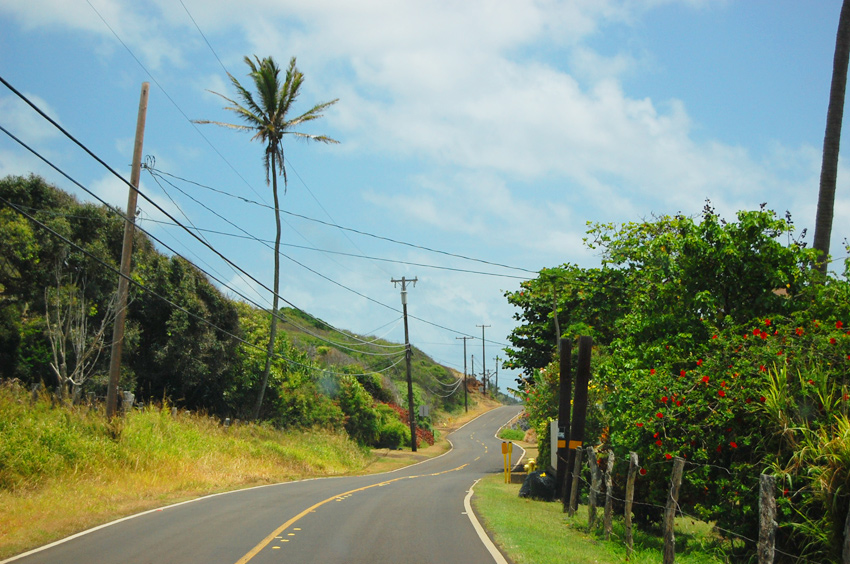
The further east you drive on Kamehameha Highway, the fewer cars you'll see. The first stretch (10 miles) of the highway, from Kaunakakai to Kamalo, is comparatively wide and straight. Beyond that it is a bit narrower and curvier.

Along this entire section of coastline are many fishponds. However, most of them are not easily accessible as they are backed by private residences. One fishpond can easily be seen from the road. It is Niaupaia Fishpond, located across from Our Lady of Seven Sorrows Church.

You'll also drive by One Alii Beach Park (which has two sections) and Kakahaia Beach. Both offer nice views of the island of Lanai, but offer poor swimming conditions due to shallow and murky nearshore waters.

Visitor Reviews

Reviews and Ratings

Be the first to review Kamehameha V Highway (Mile 1-20).

Add Your Review
Your rating

Reviews are checked before they appear on the site. If a rating is not selected, the comment will not affect the average rating.

Location, Parking and Directions

Kamehameha V Highway, also known as Highway 450, begins in Kaunakakai and follows Molokai's south shore east toward Halawa Valley. This page focuses on the first 20 miles, from Kaunakakai to Murphy's Beach. From Kaunakakai, drive east on Highway 450 and follow the shoreline route. The map marker identifies a point on Kamehameha V Highway near the south-shore fishpond area.

Loading map…

Videos

Frequently Asked Questions

Where is Kamehameha V Highway on Molokai?

Kamehameha V Highway, also known as Highway 450, follows Molokai's south shore east from Kaunakakai toward Halawa Valley. This page covers the first 20 miles, from Kaunakakai to Murphy's Beach.

How far is the Mile 1 to Mile 20 drive?

The featured section is about 20 miles one way. The first stretch near Kaunakakai and Kamalo is wider and straighter, while the road becomes narrower and more winding farther east.

What can visitors see along this part of Highway 450?

Visitors can see south-shore ocean views, mountain ridges, ancient fishponds, quiet beach parks, rural homes, small churches and distant views toward Lanai on clear days.

Is Kamehameha V Highway good for swimming stops?

Some beaches along this stretch are scenic but shallow, rocky or murky close to shore. Check conditions carefully and do not assume every roadside beach is safe for swimming.

What should visitors check before driving Kamehameha V Highway?

Check current road closures, weather, surf, debris and access notices before driving. This highway can be affected by storms, runoff, erosion and temporary closures.