
Kalapana, Big Island
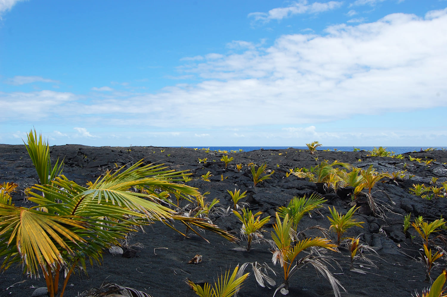
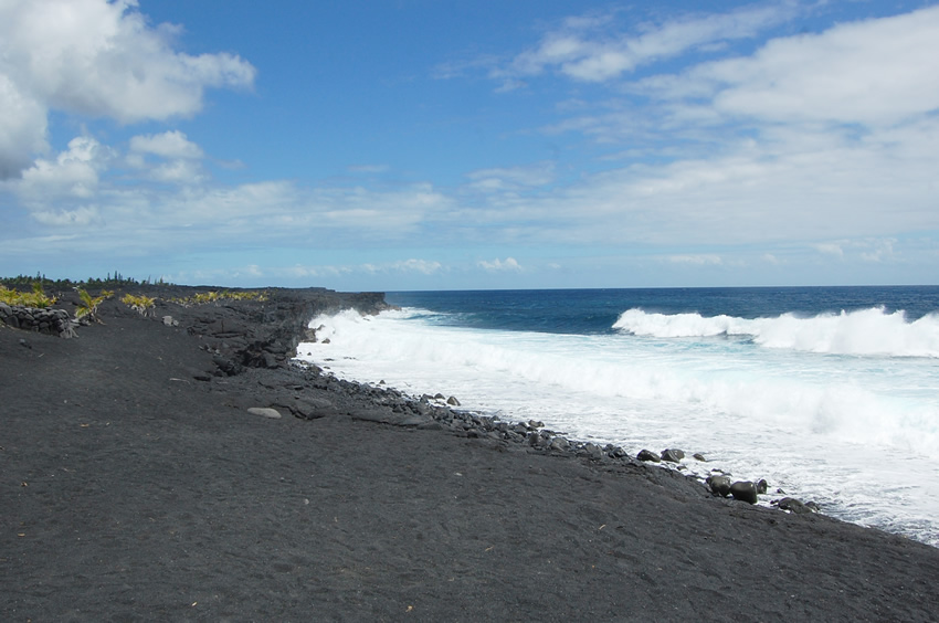
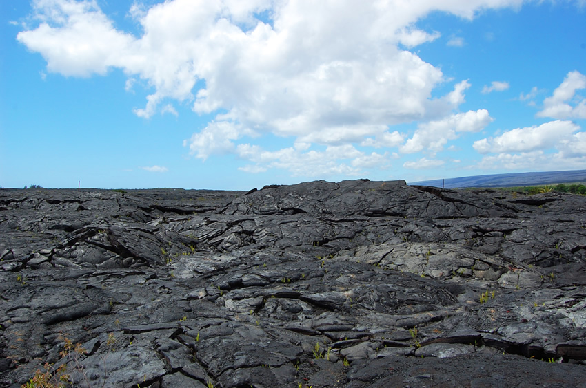
Kalapana, located in the Big Island's Puna District, was once a thriving fishing village. Located near it was Kaimu Beach, one of the largest and most popular black-sand beaches on the Big Island, as well as a famed spring-fed pool on lava rock known as "Queen's Bath." Today, Kalapana is one dark ocean of solidified lava.
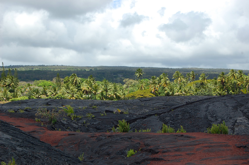
It all began in 1983, when Kilauea erupted and the lava started to flow towards this area. This time, however, the lava didn't come close to Kalapana yet, but flowed downslope to the west of it. But in 1990, from April to December, the flow changed direction and swallowed up much of Kalapana. Only a few residential properties survived. Residents watched as the lava destroyed their homes, burying everything under 30-75 feet (9-23 m) of molten rock.
When the lava flow threatened to destroy the Star of the Sea Painted Church, residents moved it away to safety. Just an hour later, the ground where the church once stood was buried. The lava destroyed almost the entire village, as well as Kaimu Beach. Many local residents took it with relative ease and instead of being upset about their loss said that Pele (Hawaii's volcano goddess) is reclaiming the land.
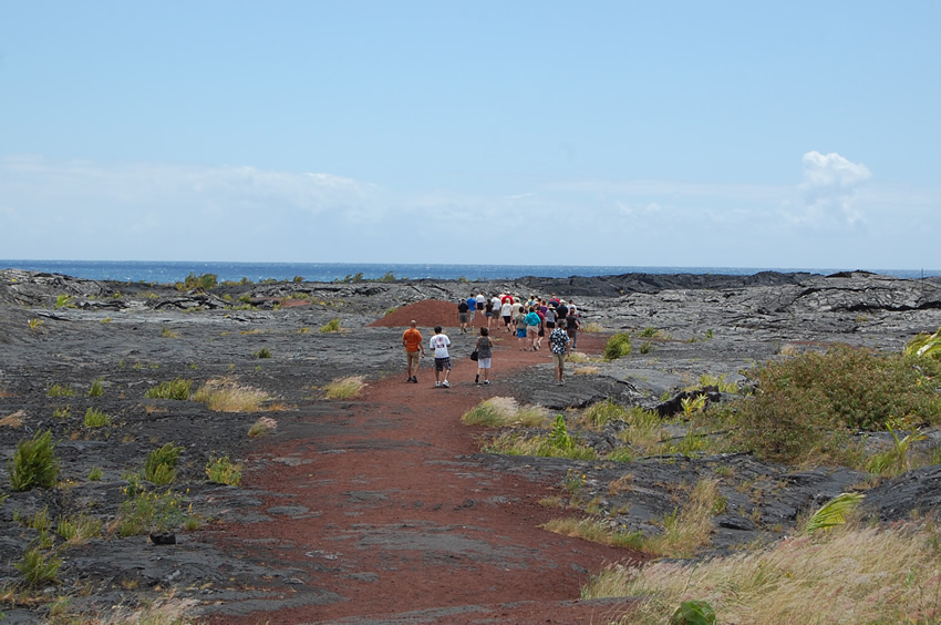
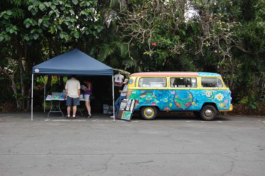
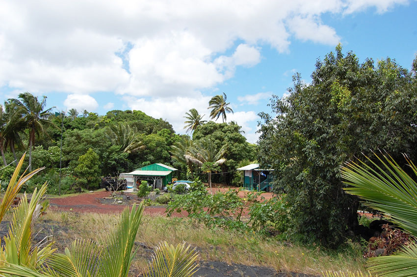
Today, a few families still reside in this barren ghost town in buildings that were spared. They have no water and no access to electricity and move in and out of the town using four-wheel drives. Although access to the town has been cut off, there is a bed and breakfast, as well as makeshift tents of rangers who monitor the traffic of visitors who tour the site. The dead end of the highway, which has been cut off by the lava flow, is now a tourist attraction. There are a few booths selling photos, gifts and ice cream.
Though the lava destroyed Kalapana's beautiful black-sand beach, it created a new one. There is a short path that leads to it. When exploring the area, be careful and observe the warning signs. The land is still unstable and may cave in.
Key Features
Reviews
Reviews and Ratings
Visitor rating
1 rated review
Been here? Share your experience
Visitor experiences
Newest firstAurora Benn
Fri Nov 08, 2019
Map
Location, Parking and Directions
Kalapana is in the Puna District on the southeast side of Hawaii Island, south of Pahoa and near the end of the road network around Highway 130 and Highway 137. The community is near Kaimu and the Kalapana lava viewing area, with Red Road and the Puna shore reached from nearby roads when access is open.
Photos
Kalapana Photos
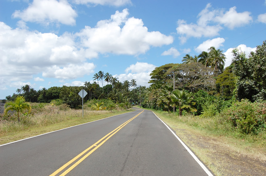
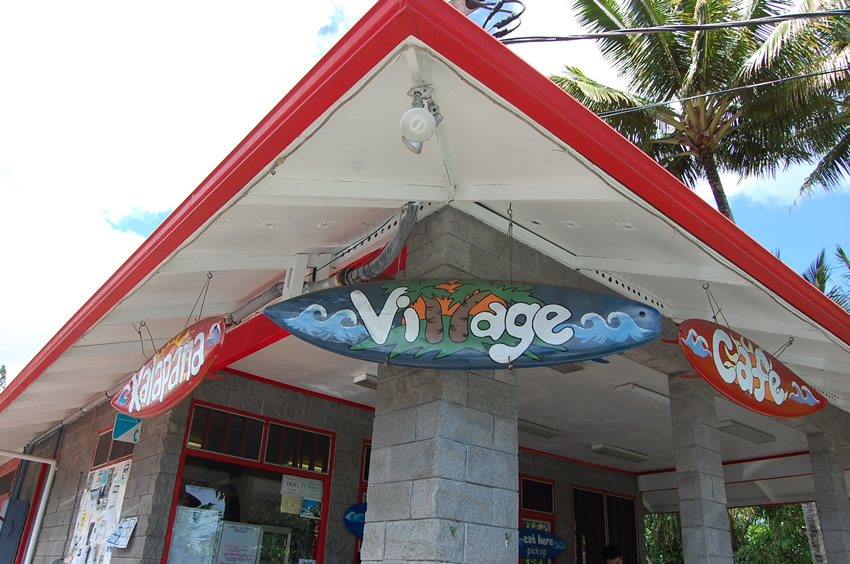
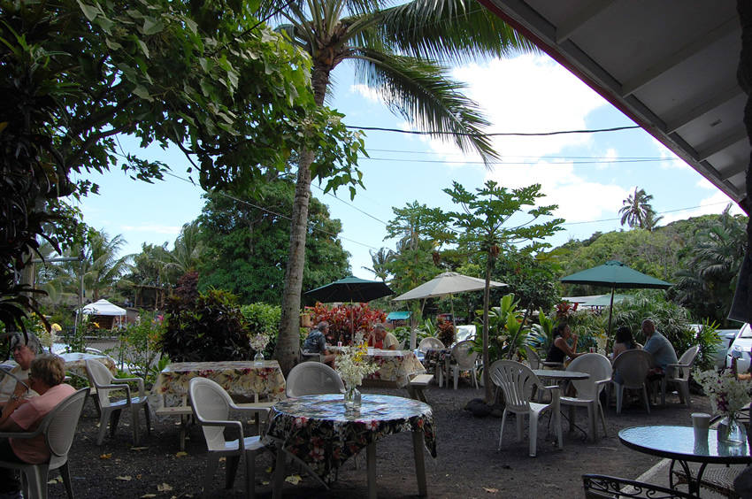
Photos of Kalapana show black-lava fields, young coastal vegetation, Kaimu-area paths, lower Puna roads, lava recovery scenery, nearby shore views and the community's volcanic setting.
Video


