Red Road (Kapoho-Kalapana Road)

Big Island Scenic Drive Guide

Red Road (Kapoho-Kalapana Road)

Red Road, also known as Kapoho-Kalapana Road or Route 137, follows the Puna coast through tropical scenery, lava landscapes and shoreline areas changed by the 2018 Kilauea eruption.

Kapoho Kalapana Road 137 01 13

Red Road (Kapoho-Kalapana Road), Big Island

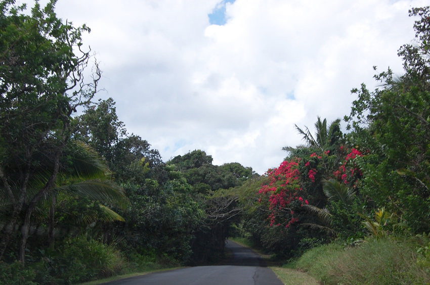
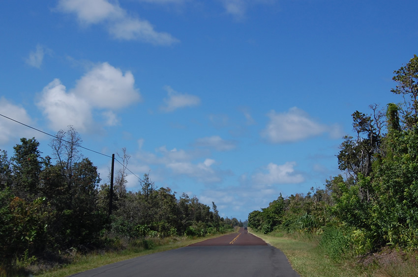
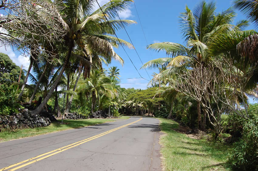
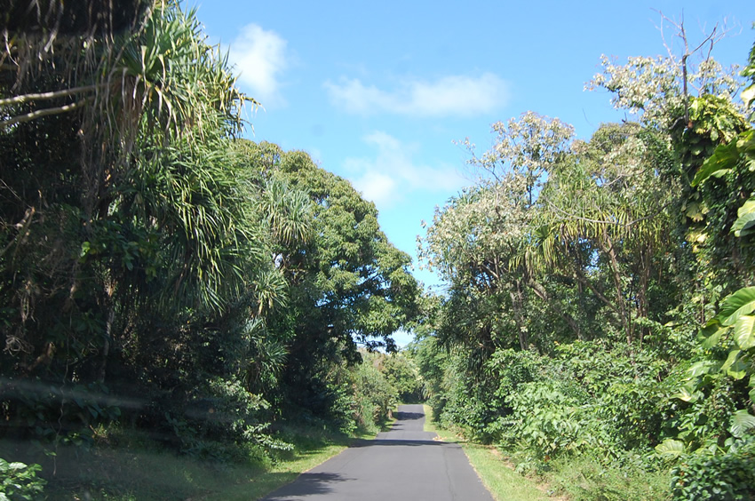
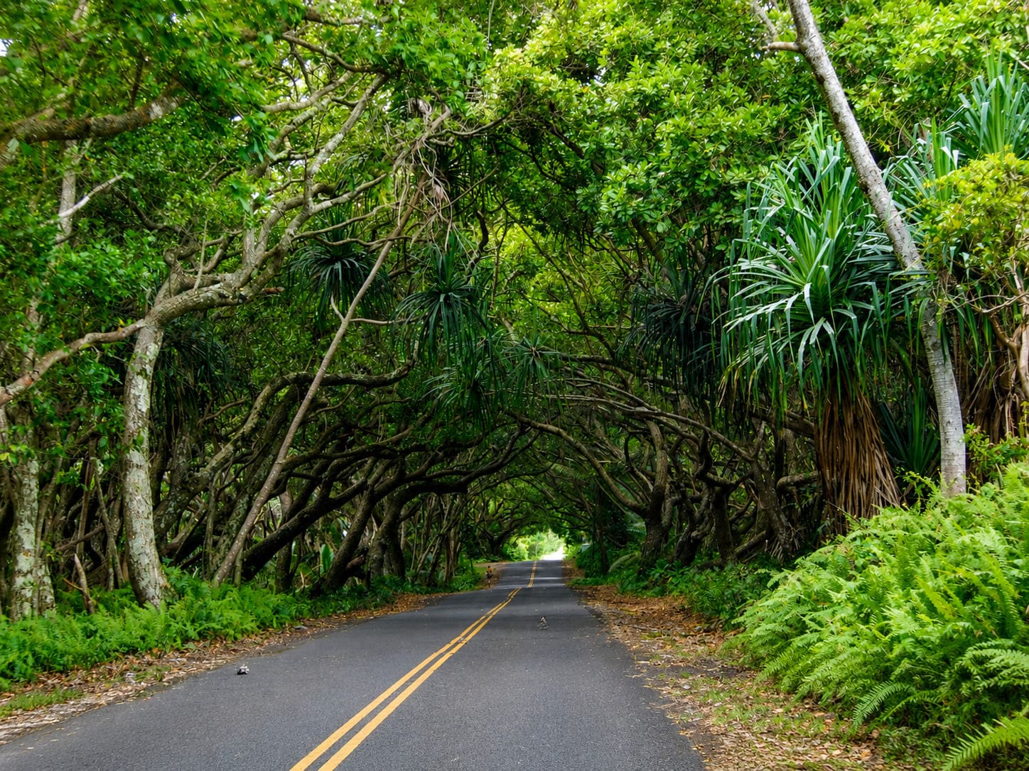
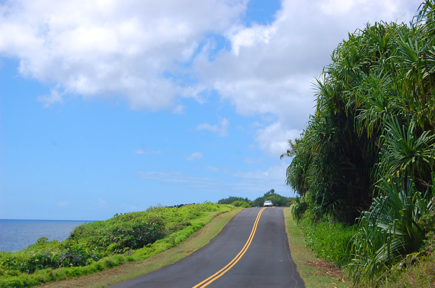
The Red Road (also known as Kapoho-Kalapana Road 137) is a scenic coastline drive in the Puna district on the Big Island's southeastern shore. The road was called Red Road because of its unique red cinder pavement. However, this pavement only remains at the northern stretch of the road (the Kapoho end). The rest of the road was resurfaced with traditional black asphalt in 2000. Nevertheless most people still call it the Red Road.

For the most part it is a narrow (about 8 feet wide) and winding road right along the ocean, over small hills, through lava fields and lush vegetation. This is what makes this drive unique in Hawaii – the great variety in scenery and great views. You will have to slow down because there are many blind hills and curves, but you will want to take your time anyway.

Along the way are a few points of interest – Ahalanui Pond (a volcanically heated pond where you can enjoy a dip), MacKenzie State Park (a large park with many trees from where you can watch the waves crash into steep sea cliffs) and Kehana Beach (a remote black sand beach and one of the few unofficial nude beaches in Hawaii). Once you arrive in Kalapana (a village that doesn't exist anymore after it was destroyed by a lava flow in 1990), there is another unique attraction, the Kaimu Beach Eco-Path, an easy trail across a lava field that will take you to a small black sand beach).

Visitor Reviews

Reviews and Ratings

5.0

Rated 5.0 out of 5 based on 1 rated visitor review.

Add Your Review
Your rating

Reviews are checked before they appear on the site. If a rating is not selected, the comment will not affect the average rating.

Keoni Nui

Fri May 10, 2019

Rustic primeval beauty in natural and human experiences - Go live it to believe it.

Location, Parking and Directions

Red Road, also known as Kapoho-Kalapana Road or Route 137, is located in the Puna District on the Big Island's southeastern coast. From Pahoa, visitors generally approach the coast by local routes toward Kalapana or Pohoiki, depending on current road access. The map marker identifies a point on the currently mapped Kalapana-Kapoho coastal road area. Confirm current access before driving because parts of the historic route were covered by the 2018 eruption and reconstruction work continues.

Loading map…

Videos

Frequently Asked Questions

Where is Red Road on the Big Island?

Red Road, also known as Kapoho-Kalapana Road or Route 137, is in the Puna District on the Big Island's southeastern coast.

Is Red Road still open all the way to Kapoho?

No, visitors should not assume the full historic route is open. The 2018 Kilauea eruption covered parts of Highway 137, and reconstruction of the Kapoho-to-Pohoiki section is still a current project.

Why is it called Red Road?

The road became known as Red Road because parts of it once had red cinder pavement. Most of the route now has standard black asphalt, but the nickname remains.

What can visitors see along Red Road?

Depending on current access, visitors may see lush Puna vegetation, lava-rock coastline, sea cliffs, black-sand shoreline, ocean views and the Pohoiki/Isaac Hale Beach Park area.

What should visitors check before driving?

Check current Highway 137 access, road reconstruction updates, park closures, surf, weather and lava recovery notices before going. Do not bypass barriers or enter closed areas.