Queen Kaahumanu Highway

Big Island Scenic Drive Guide

Queen Kaahumanu Highway

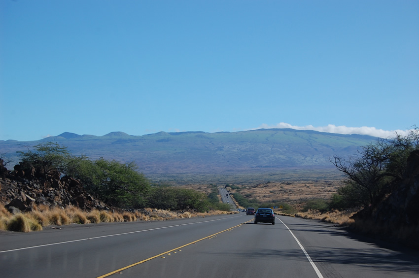
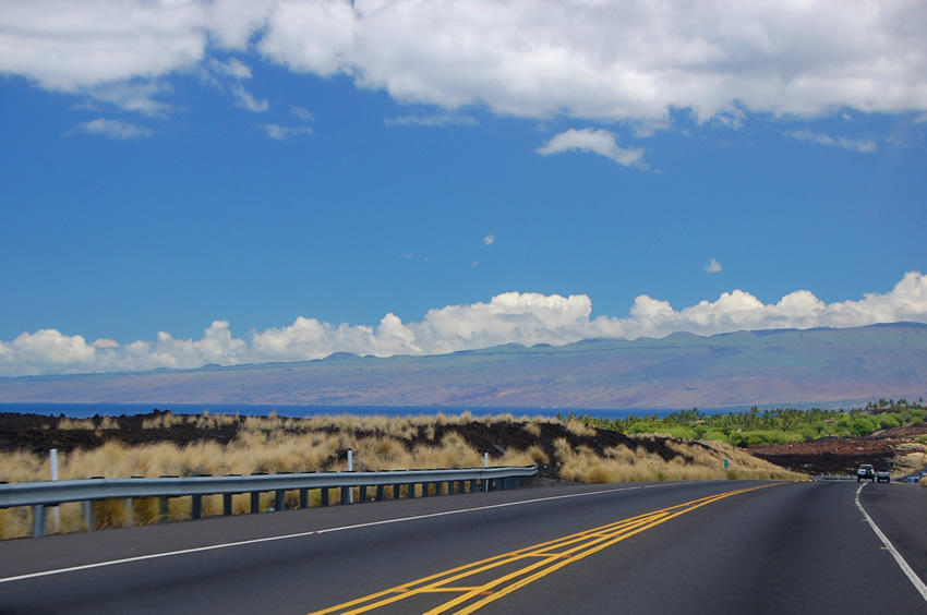
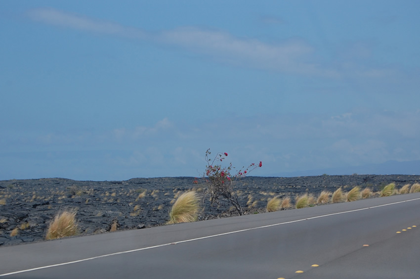
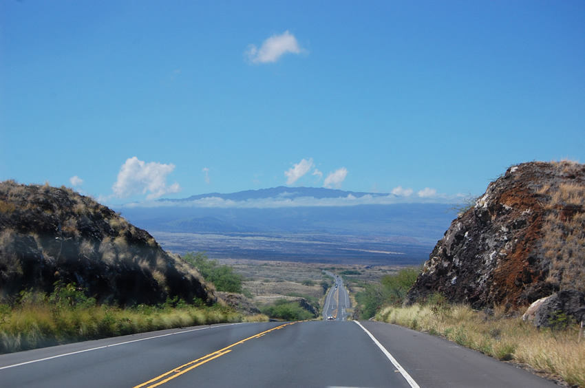
Queen Kaahumanu Highway follows the Big Island's west side from Kailua-Kona toward the Kohala Coast, with lava fields, ocean views, airport access, beach roads and resort turnoffs.

Driving Surrounded by Lava Fields

Queen Ka'ahumanu Highway, Big Island

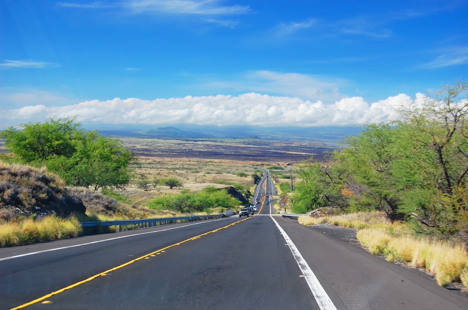
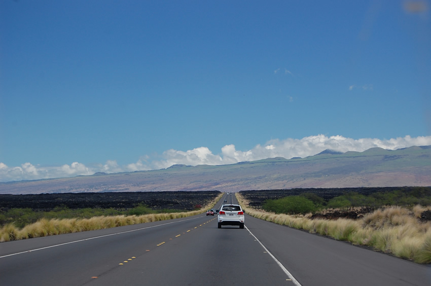
Queen Ka'ahumanu Highway (Hwy 19) leads from Kailua-Kona 33 miles (53 km) north along the coast and ends just south of Kawaihae, where it intersects Mamalahoa Highway (Hwy 19) and Akoni Pule Highway (Hwy 270). It is a scenic highway and the only one that provides access to numerous North Kona and Kohala beaches and attractions, such as Kekaha Kai State Park, Kiholo Bay Lookout, Kua Bay, Mauna Kea Beach and Hapuna Beach, as well as the Waikoloa resort area.

The Kona International Airport is also located off Queen Ka'ahumanu Highway. The views from Queen Ka'ahumanu Highway are beautiful. One can see the ocean almost the entire stretch of the road, which cuts through vast volcanic lava fields. Here is an interesting story about two ghostlike figures that were seen while driving north on Queen Ka'ahumanu Highway (read story).

Visitor Reviews

Reviews and Ratings

Be the first to review Queen Kaahumanu Highway.

Add Your Review
Your rating

Reviews are checked before they appear on the site. If a rating is not selected, the comment will not affect the average rating.

Location, Parking and Directions

Queen Kaahumanu Highway, also known as Route 19, runs along the Big Island's west side from Kailua-Kona north toward the Kohala Coast and Kawaihae area. From Kailua-Kona, follow Route 19 north past Kona International Airport, lava fields, beach access roads and resort turnoffs. The map marker identifies a point on Queen Kaahumanu Highway along the west-side coastal route.

Loading map…

Frequently Asked Questions

Where is Queen Kaahumanu Highway?

Queen Kaahumanu Highway is Route 19 on the Big Island's west side. It runs north from Kailua-Kona toward the Kohala Coast and the Kawaihae area.

How long is Queen Kaahumanu Highway?

The scenic west-side stretch from Kailua-Kona toward the Kohala Coast is about 33 miles. Driving time depends on traffic, airport access, beach stops and roadwork.

What is Queen Kaahumanu Highway known for?

The highway is known for black lava fields, long ocean views, Kona airport access, beach turnoffs and resort roads leading toward Waikoloa, Mauna Lani and Mauna Kea.

Which beaches can visitors reach from this route?

The highway provides access to several beach areas, including Kaunaoa Beach, Hapuna Beach State Park and other North Kona and Kohala Coast shoreline stops.

What should visitors check before driving?

Check current roadwork, airport-area traffic, weather and beach access rules before going. This route is open and exposed, so sun, wind and traffic can affect the drive.