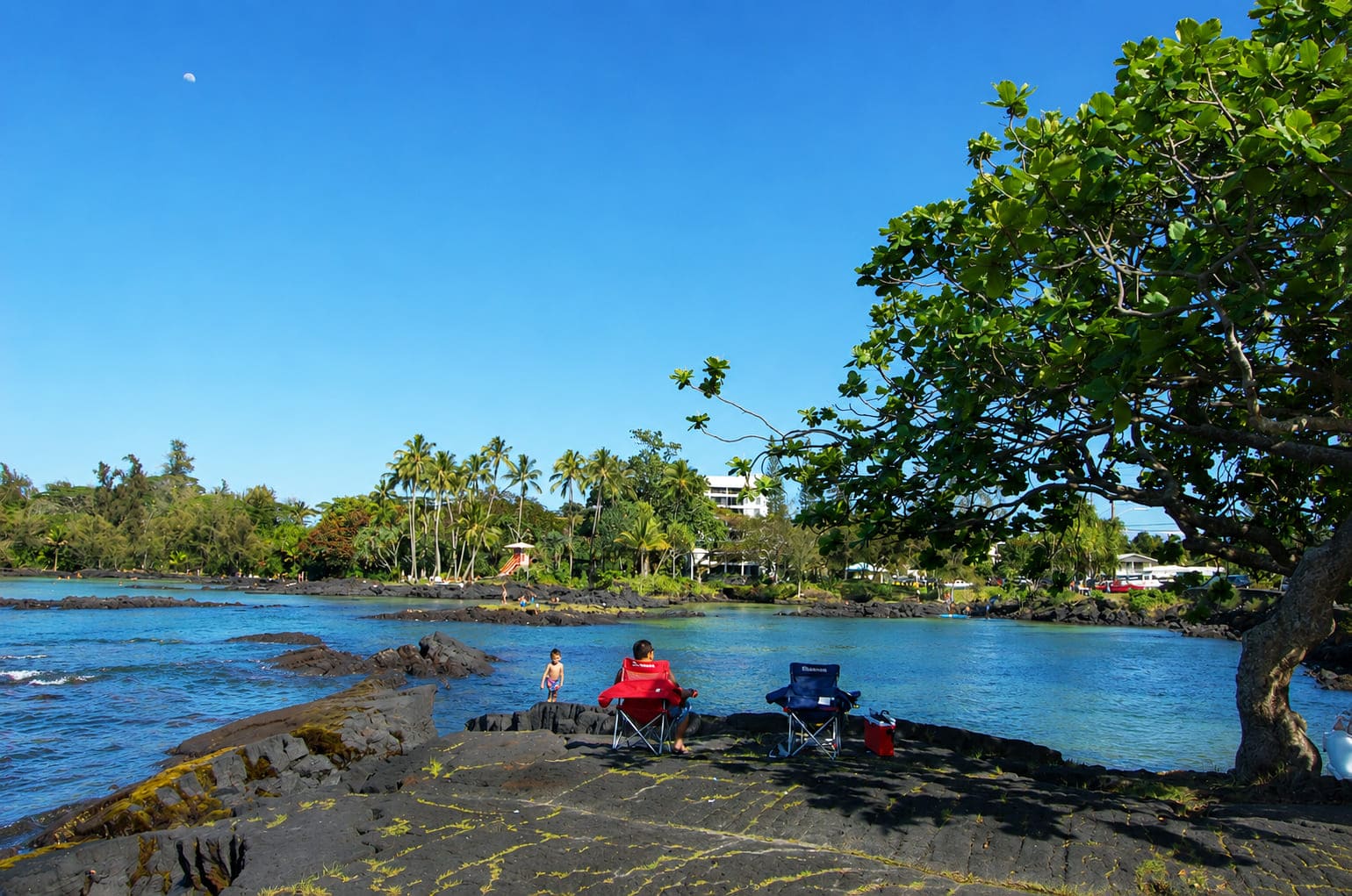
James Kealoha Beach Park, Big Island
Named in 1963 after the first elected lieutenant governor of the state of Hawaii, James Kealoha Beach Park is also known as “4 Miles” among local residents – not because of its length, but because it is exactly 4 miles (6.4 km) from the Hilo Post Office, the main starting point for mileage markers in the area.
When it comes to beach activities, this park has a useful mix of ocean views, water sports, sunbathing and a few good fishing spots. This makes James Kealoha Beach Park a convenient weekend stop for local families and visitors. But despite its popularity, the park never seems crowded since there’s a lot of open space.
Popular water activities at Kealoha include swimming, snorkeling, surfing, pole fishing and spearfishing. The central and western areas of the bay open up to the deeper offshore waters, so during times of high surf, a strong rip current runs seaward in this area. The surfing spot located here is aptly named “4 Miles.”
The eastern end of the bay is more sheltered, and families with children prefer this area. There is a large, ponded swimming area that contains a few inlets and pockets of white sand. Behind the beach are trees that provide shade for picnickers. A picnic pavilion is also available. This area once belonged to the Carlsmith family, so sometimes the park is referred to as Carlsmith Park.
Located offshore is Scout Island. On most maps it is referred to as Mahikea Island, yet, a few others claim its correct Hawaiian name is Peiwe. The island was hit by the tsunami in 1946, which shortened it on its seaward end. It used to be a popular summer camping site among the residents of Keaukaha, as well as a destination for the Big Island boy scouts (hence its English name “Scout Island”). The Hawaiian name Peiwe refers to drupe shells, whose snails were commonly eaten and are found throughout the Hawaiian Islands in shallow, rocky areas.
Key Features
Beach Activities
Activities
Beach Facilities
Facilities
Reviews
Reviews and Ratings
Visitor Reviews
Rated 1.0 out of 5 based on 1 rated visitor review.
Been Here? Add your Review
Hawaiian
Fri Dec 02, 2016
Map
Location, Parking and Directions
James Kealoha Beach Park is located on Kalanianaole Avenue in Hilo on Hawaii Island's east shore. From downtown Hilo, drive south on Kalanianaole Avenue for about four miles. The beach park is on the ocean side of the road along the Keaukaha shoreline.
Photos
James Kealoha Beach Park Photos
Photos show James Kealoha Beach Park, the rocky Hilo shoreline, ponded water, Scout Island views, shaded gathering areas and Keaukaha coast scenery.