Hawaii Kai, Oahu
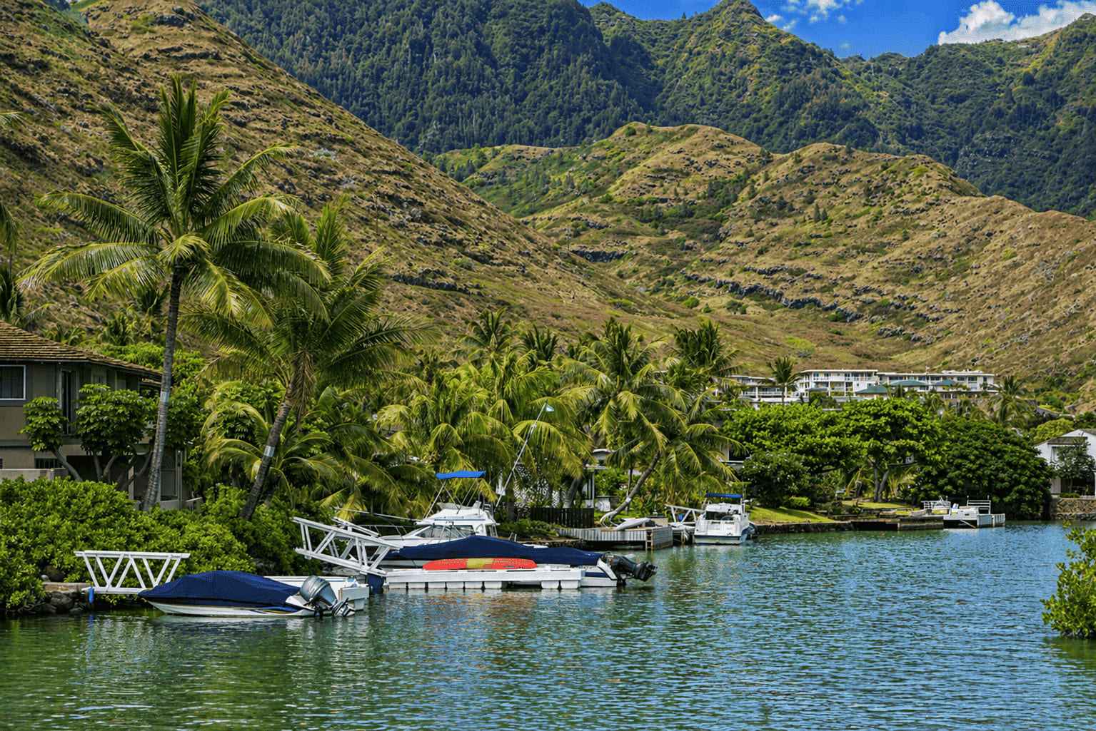
Hawaii Kai , located on Oahu's south shore, is the largest of several residential communities at the southeastern end of the island. The town was the brainchild of the billionaire industrialist Henry J. Kaiser, who developed an area of kiawe flatland and a shallow fishpond into an affluent suburb. Starting around 1959, the Hawaii Kai or Koko Marina was dredged from the pond. Several neighborhoods now extend back into several valleys and up the mountain ridges.
Attractions include the Koko Marina Center, located on the corner of Kalanianaole Highway and Lunalilo Home Road. Here you will find many shops, restaurants, watersports activities and a large movie theater. It is located directly on the marina and features a nice atmosphere. You can dine right next to anchored boats and enjoy views of the water and the green mountains in the background.
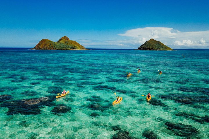
Hawaii Kai is located along Maunalua Bay. The bay is popular among jet skiers, parasailers and boaters, but not among swimmers since the nearshore ocean bottom is shallow and has a reef.
Key Features
Reviews
Reviews and Ratings
Visitor Reviews
Rated 5.0 out of 5 based on 1 rated visitor review.
Been Here? Add your Review
kahouna nikokan
Wed Dec 26, 2012
Map
Location, Parking and Directions
Hawaii Kai is located on southeastern Oahu, about 11 miles east of Honolulu along Kalanianaole Highway. From Honolulu or Waikiki, drive east past Kahala toward Hawaii Kai, Koko Marina and Maunalua Bay. Parking varies by shopping center, marina area, beach park, trailhead and activity operator.
Photos
Hawaii Kai Photos
Browse Hawaii Kai photos featuring marina views, Koko Head Crater, Koko Head Trail, Koko Marina Center, Maunalua Bay, neighborhoods and scenic East Oahu coastal views.


Video