Ma'ili Beach Park, Oahu
Ma'ili Beach Park is a long white-sand beach located along Farrington Highway on Oahu's west shore. The 40-acre park is named after the small town of Ma'ili. Much of the shoreline is lined by rock shelves, so ocean entry can vary by section.
In the winter months, the beach can get high surf, and strong currents may be present on any day. Ask lifeguards about conditions before entering the water. A popular surfing spot called Green Lanterns is just offshore near the mouth of Ma'ili'ili Stream. Another surf spot, Tumbleland, is near the center of the beach.
The park has open space for picnics, beach walks and sunset views. Fishing is also common along the shoreline. Camping is allowed at Ma'ili Beach Park, but a permit is required. Check current Oahu camping rules before planning an overnight stay.
Inland from Ma'ili Beach Park is the Naval Radio Transmitter Facility Lualualei, also known as NRTF Lualualei. The two tallest masts are 1,503 feet (458 m) tall. When they were built in 1972, they were the tallest man-made structures in the Western Hemisphere at the time. The facility transmits high and low frequency radio signals to communicate with Navy vessels, including submarines, throughout the Pacific. Both the Navy and the Coast Guard use this facility.
Key Features
Beach Activities
Activities
Beach Facilities
Facilities
Reviews
Reviews and Ratings
Visitor Reviews
Rated 5.0 out of 5 based on 1 rated visitor review.
Been Here? Add your Review
Vincent Eblacas
Sun Feb 18, 2018
Map
Location, Parking and Directions
Ma'ili Beach Park is located along Farrington Highway on Oahu's leeward coast, fronting the community of Ma'ili between Nanakuli and Waianae. The long beach park stretches across a large west side coastal area with multiple access points.
Photos
Ma'ili Beach Park Photos
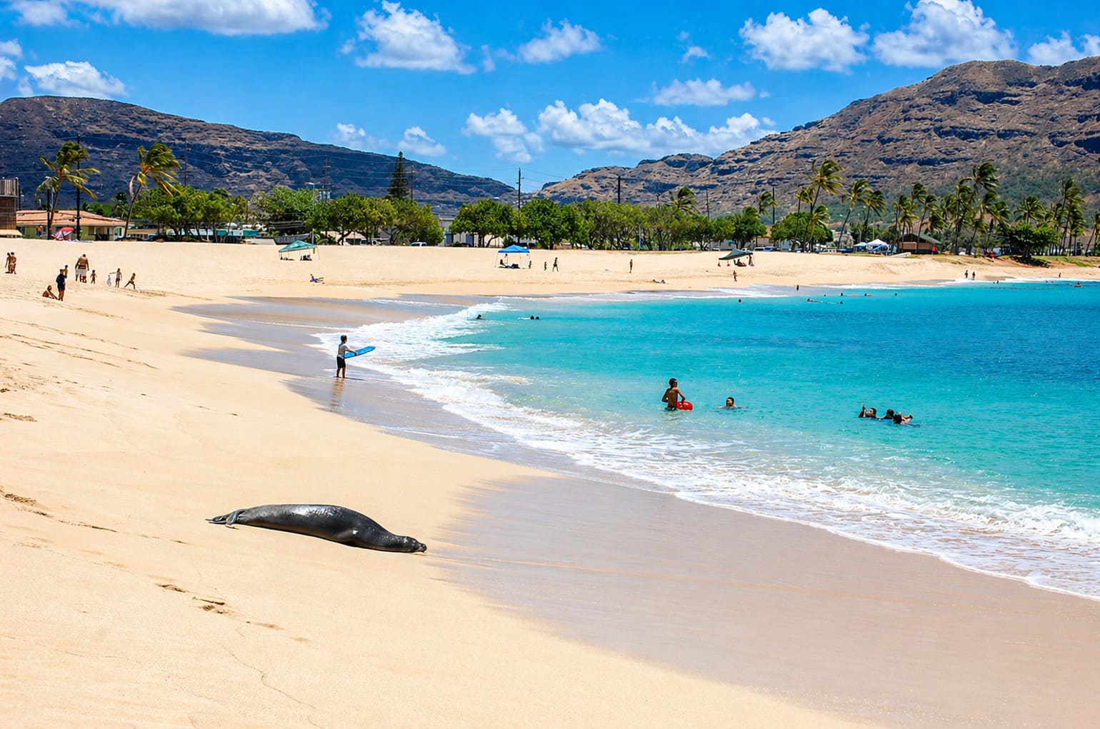
Photos of Ma'ili Beach Park show the long white-sand beach, west Oahu coast, lifeguard tower, camping areas, surf breaks, fishing spots, sunset light and Farrington Highway access.


Video


