


Maunaloa Highway
 Maunaloa Highway
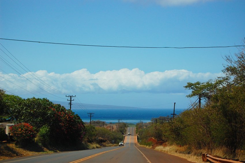 Route 460 on Molokai
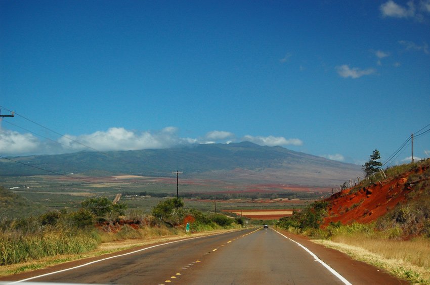 Mile marker 11
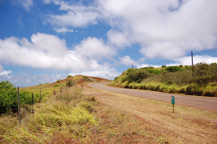 Mile marker 13
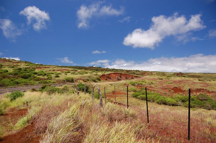 Scenery at mile marker 13
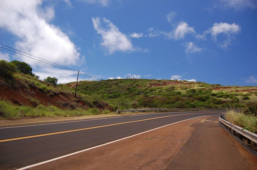 Scenery at mile marker 13
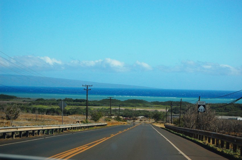 Driving to Kaunakakai
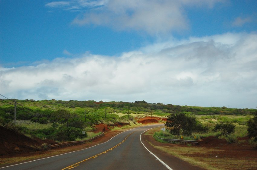 Red earth and green vegetation
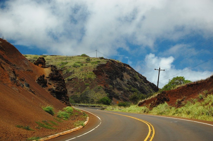 Scenic and winding road
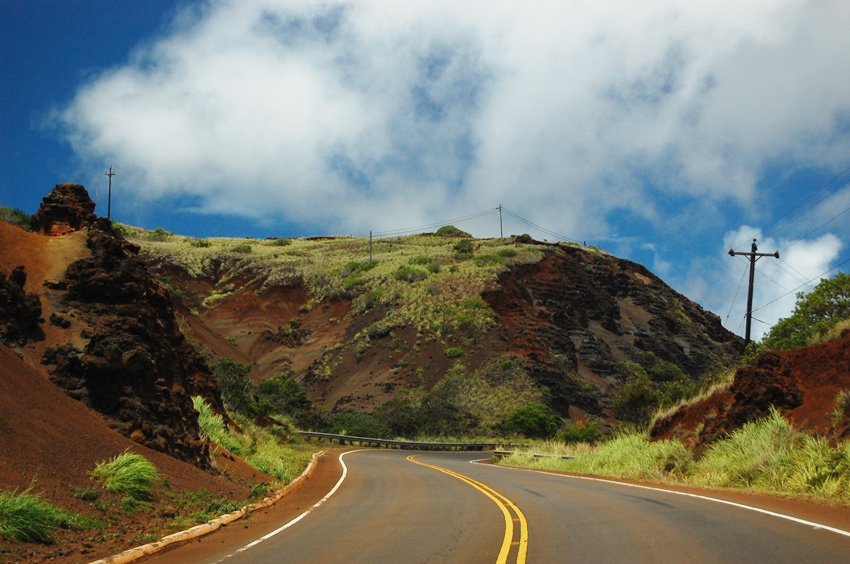 Scenic and winding road on Molokai
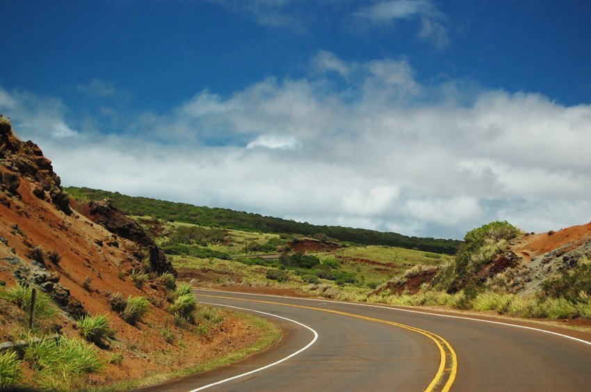 Scenic drive on Molokai
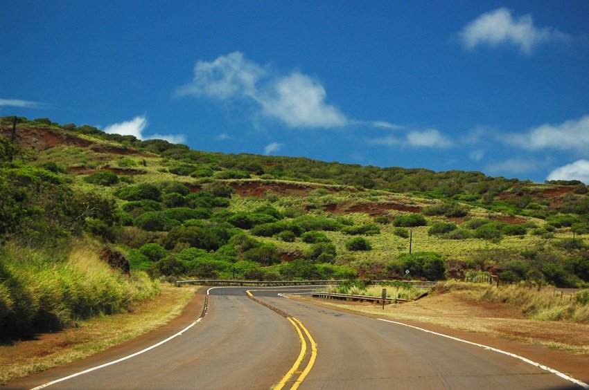 Maunaloa Highway on Molokai
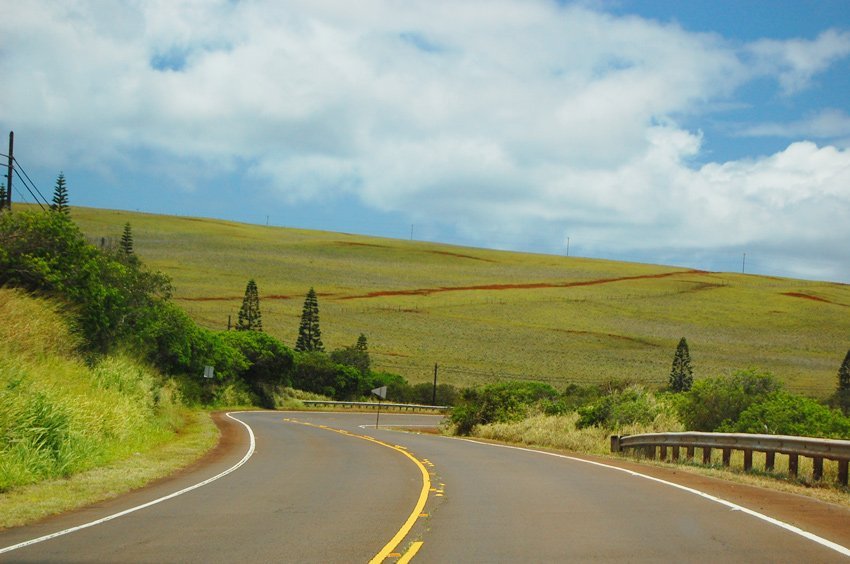 Molokai road
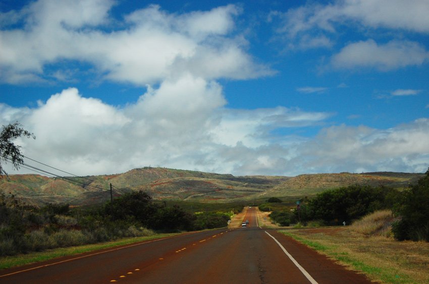 Beautiful mountain views
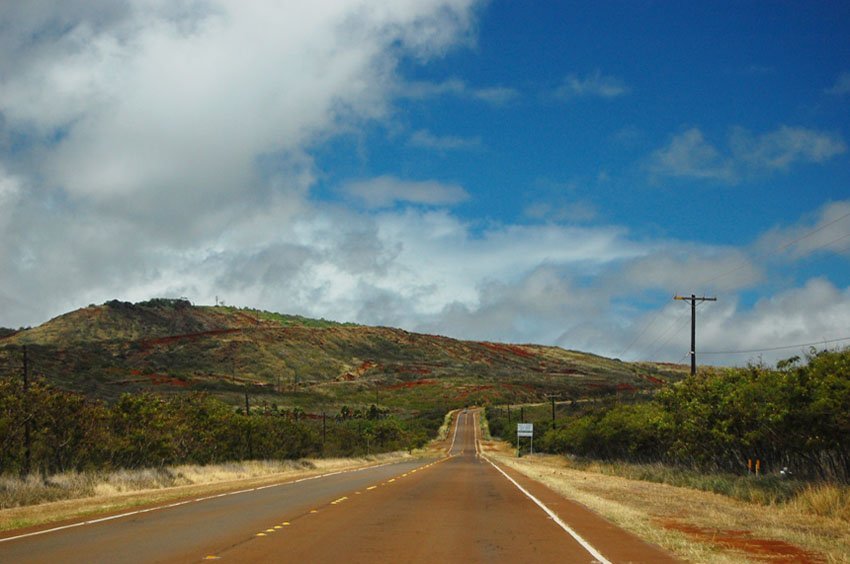 Beautiful mountain views
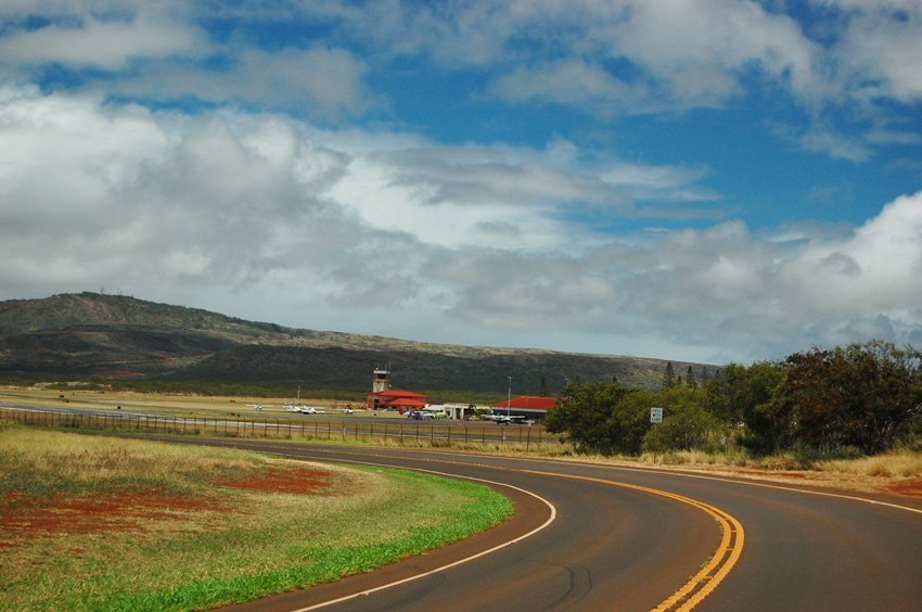 Driving by Molokai Airport
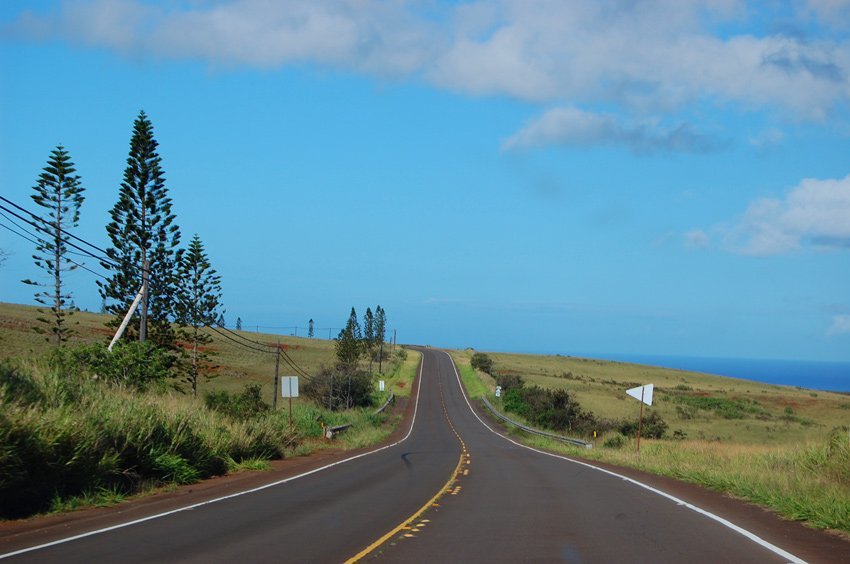 Scenery near Maunaloa
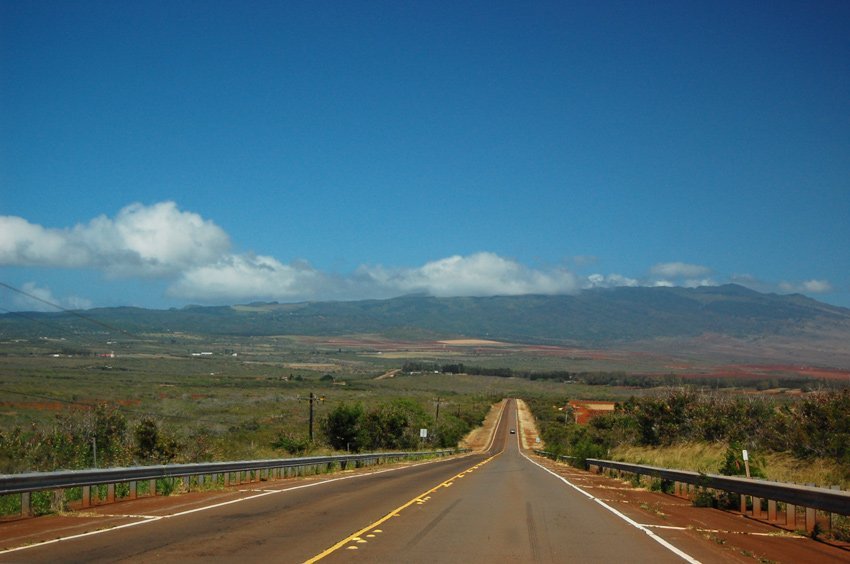 No traffic
Maunaloa Highway, Molokai
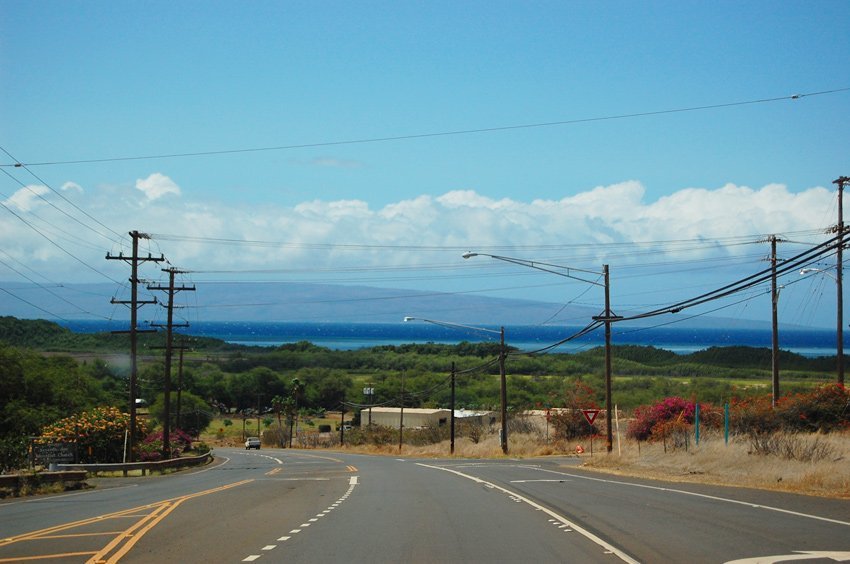
Maunaloa Highway (Hwy 460) (view panorama) leads from Kaunakakai to Maunaloa, a 16-mile (26 km) long scenic drive through the central part of the island, past Molokai Airport. Along the way you'll enjoy views of Molokai's south shore with its azure blue nearshore waters, open grasslands and mountains.

If you're coming from Maunaloa and drive towards Kaunakakai, you'll have a great view of the East Molokai volcano in the distance, as well as the island's central plateau. If you're driving towards Maunaloa, the highway winds uphill through the reddish-brown and arid landscape surrounding the West Molokai volcano.
Maunaloa Highway Overview
- Leads through Molokai's central plateau to the upcountry town of Maunaloa
- 16-mile (26 km) drive