


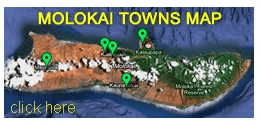
Molokai Towns
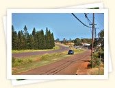
 There are no big cities on Molokai, no traffic lights and no large malls or big-box stores. All you can find here is sleepy little towns and villages.
The island's main town is Kaunakakai, with a population of about 3,425. The rest of Molokai's population of about 3,900 people live in small villages scattered throughout the island. Molokai's total population is 7,345 (2010 Census).
FIND BY NAME:
A | B | C | D | E | F | G | H | I | J | K | L | M | N | O | P | Q | R | S | T | U | V | W | X | Y | Z
A | B | C | D | E | F | G | H | I | J | K | L | M | N | O | P | Q | R | S | T | U | V | W | X | Y | Z
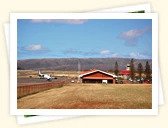
Ho'olehua is located in the northern part of Molokai, off of Highway 460, near the Molokai airport. It is a small community situated 620 feet (189 m) above sea level. Read More
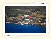

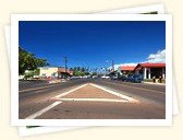
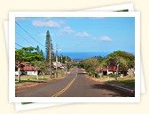
Kaunakakai is the largest and main town of tranquil Molokai. With a few mom-and-pop stores selling groceries and other supplies, Kaunakakai is the main shopping hub for the 7,300+ island residents. Read More