


Waimea
-
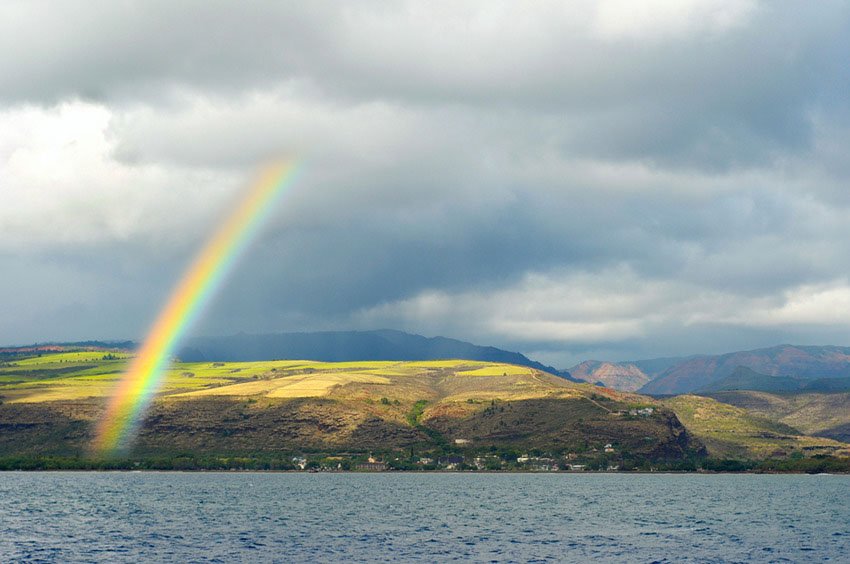 Waimea
 -
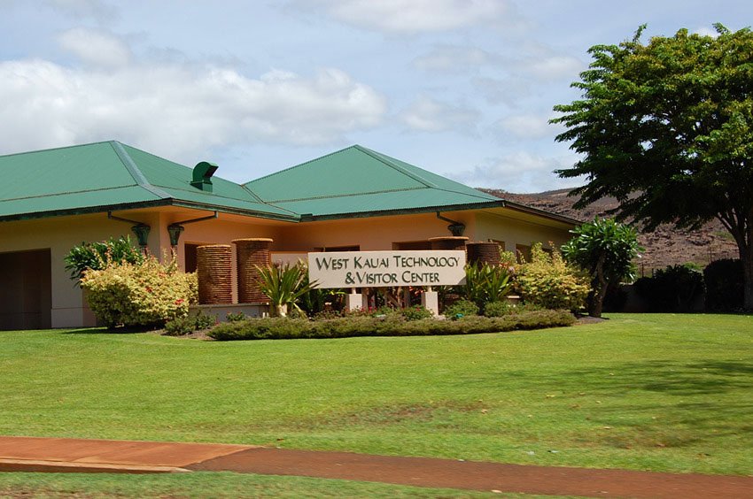 West Kauai Technology & Visitor Center
 -
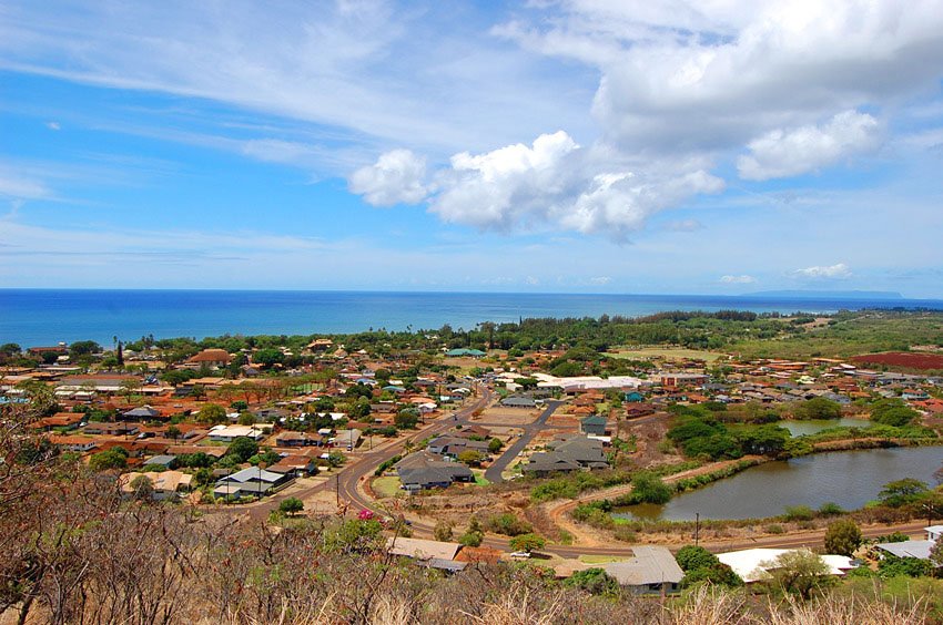 View from Waimea Canyon Drive
 -
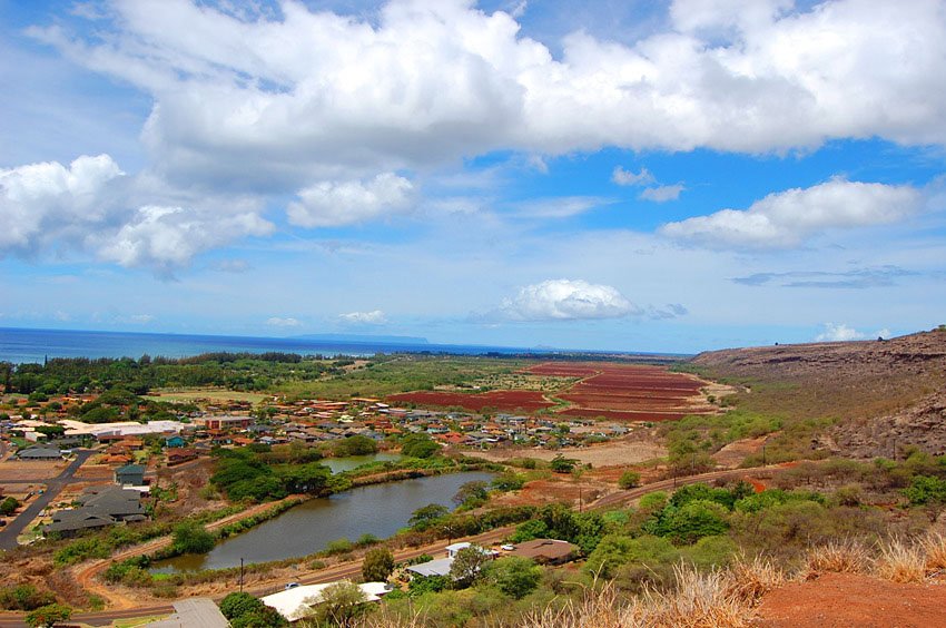 On the way to Waimea Canyon
Waimea, Kauai
Waimea is located on Kauai's southwest shore. Even though this side of the island is not as lush as the rest of Kauai, Waimea has other attractions that are worth visiting. There are old buildings, churches, sugar mill ruins, as well as the Captain Cook landing site, located on Lucy Wright Beach Park.
Waimea also has a few good restaurants and shops, two supermarkets, two gas stations (your last chance to get gas before you drive up to Waimea Canyon), as well as a few accommodation options.
If you plan to drive to either the Waimea Canyon or the Koke'e State Park, Waimea is the last main town on your way there. From Waimea, the Waimea Canyon Drive leads to the canyon. As you drive up the road, stop for a moment at one of the lookout points to enjoy the nice view of Kauai's west shore and the island of Niihau on the horizon.

Waimea Overview
- Historic town on Kauai's southwest shore
- Waimea is a gateway to Waimea Canyon and Koke'e State Park
- Population: 1,881 (2010 Census)
- Zip code: 96796