Kaumakani at a Glance
A top sugar producer, the small town of Kaumakani lies 122 miles
west of Honolulu. In the Hawaiian language, Kaumakani means “place
in the wind.” For more than 40 years, however, the town was called
Makaweli, which literally means “fearful features.” It was only in
1956 that the town name was officially changed to Kaumakani.
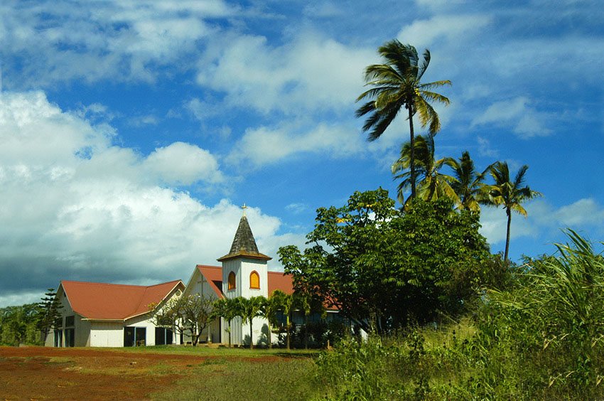
Covering 1.0 square miles of land, Kaumakani has no white beach
resorts or museums seen in other Kauai villages. Kaumakani is rather
a quiet town surrounded by several sugar plantations. Tours around
the plantations are offered. The town also has a landmark 3.45 acre
sports field.
In 1967, the most destructive tornado in the history of Hawaii
hit the town and destroyed plantations and infrastructures. The town
was slow to recover from the catastrophe. It was only in 1994, with
the purchase of Olokele Sugar Company by Gay and Robinson Sugar
Company, that Kaumakani started to revive its weakened economy. In
2005, the town had a per capita income of $14,024. Its estimated
average household income is $40,300 and its average family income is
$41,250.
Kaumakani is a relatively small town. Based on a 2000 census, its
total population numbered 607 residents only, a number which is
comprised, in turn, by 207 households and 162 families. The
population density is 635.7 people per square mile. Majority of the
residents are of Filipino descent, taking a little more than 65% of
the entire population. Other Asians comprise approximately 12% of
the population, Hispanics 5.3%, and Caucasians 3.1%.
Kaumakani’s zip code is 96747.
Kaumakani in Bullet Points
Kaumakani Location
Kauai
Kaumakani Map (top)
Loading...
Kaumakani Weather (top)
Now 67°F Windchill: 67°F
Fair
|
Location: Kaumakani, HI, US
Wind: 3 mph NE
Humidity: 57%
Visibility: 0.1 mi
Pressure: 30.11 in steady
Sunrise: 6:44 am
Sunset: 6:49 pm
|
Fri
Hi: 73°F Low: 59°F
Partly Cloudy
|
Sat
Hi: 77°F Low: 62°F
Partly Cloudy
|
Kaumakani Photos (click to enlarge) (top)
Kaumakani Reviews and Comments (top)
|