O'okala, Big Island
O'okala is a small community of fewer than 200 people on the Big Island's lush Hamakua Coast, about 4 miles (6.4 km) north of Laupahoehoe. Before the year 2000, the town had multiple names until the Board of Geographic Names ruled that the town would be called O'okala.
Key Features
Hamakua Coast setting: Tiny rural community north of Laupahoehoe
Plantation roots: Former sugar-era area with quiet local character
Official name: Board of Geographic Names designated O'okala in 2000
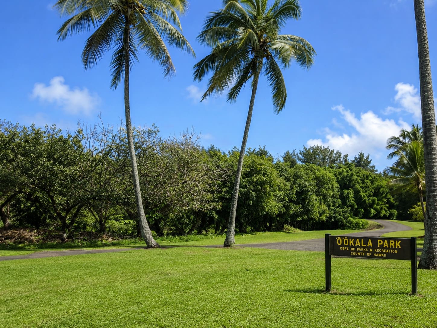
Local landmark: Small community centered around homes, roads and a post office
Nearby stops: Close to Laupahoehoe, Pa'auilo and Honoka'a
Activity fit: Good area for sightseeing tours, zipline tours and helicopter tours
Zip code: 96774
Reviews
Reviews and Ratings
Visitor Reviews
Be the first to review O'okala.
Been Here? Add your Review
Map
Location and Directions
O'okala is located on the Big Island's Hamakua Coast, north of Laupahoehoe and southeast of Pa'auilo near Highway 19. From Hilo, follow Highway 19 north through the windward coast communities. The marker is placed near the village and post office area.
Loading map…
Photos
O'okala Photos
Browse O'okala photos featuring the post office, quiet Hamakua Coast roads, rural homes, green scenery and plantation-era village character.