


Captain Cook
Captain Cook, Big Island
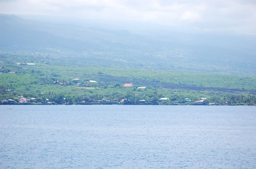
The small town of Captain Cook (view panorama) is located in the land division of Kealakekua on the Big Island's west shore. It is named after Captain Cook, the circumnavigator who landed here in January 1779 and was killed a month later.
Captain Cook has a few cozy B&Bs and small shops, including kayak rentals, a gas station and grocery store. It is the last of the "big" towns in this area (further south are just small villages and scattered houses) and the gateway to attractions in this part of the island. Snorkeling, fishing, sailing, sightseeing and scuba diving are the main activities in this area.
If you are in here in March, visit the yearly Kona Stampede Rodeo at the Honaunau Rodeo Grounds, located at the road leading down to Pu'uhonua O Honaunau. It's a nice event where you can watch local cowboys in action.

Captain Cook Overview
- Small town on the Big Island's west shore with a few stores and bed & breakfasts, further south are just tiny villages and scattered houses
- Kayak rentals available to explore nearby Kealakekua Bay
- Population: 3,429 (2010 Census)
- Zip code: 96704